山本山→賤ヶ岳→余呉「前編」 Mt. Yamamoto → Mt. Shizugatake → Yogo (Part 1)
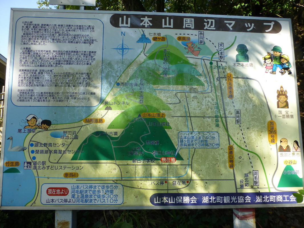
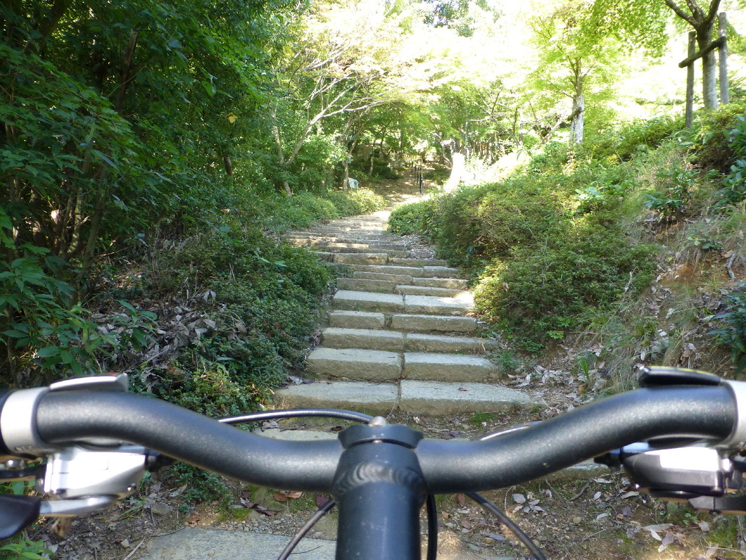
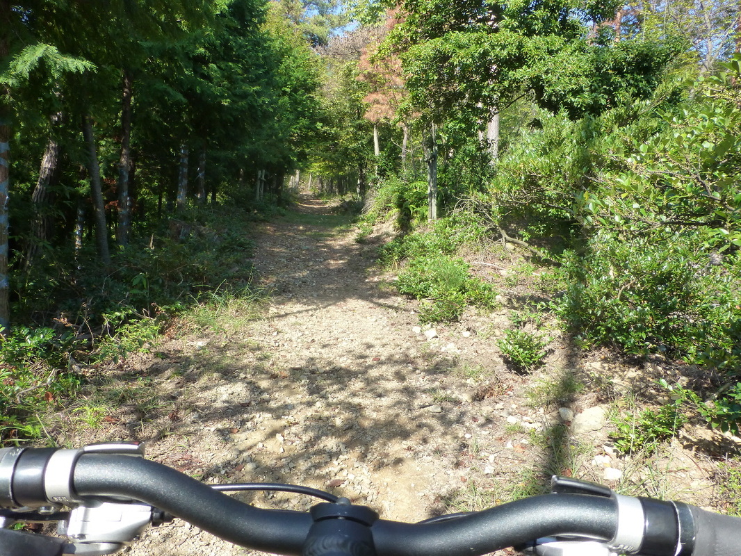
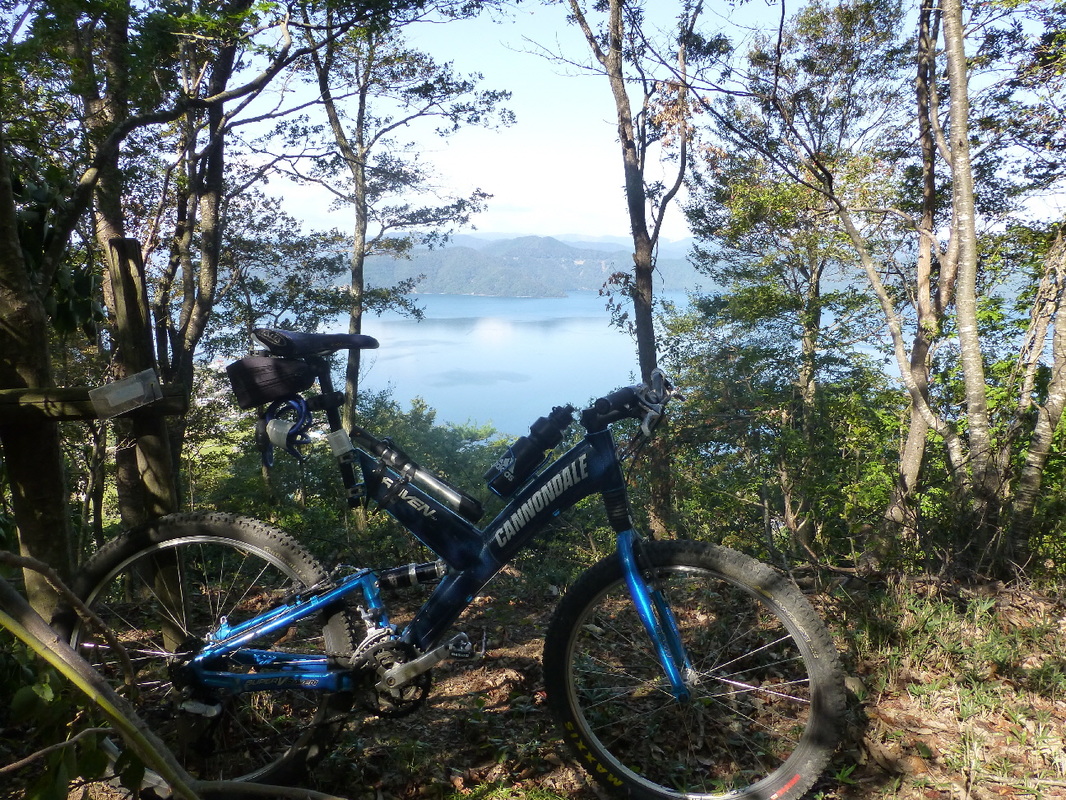
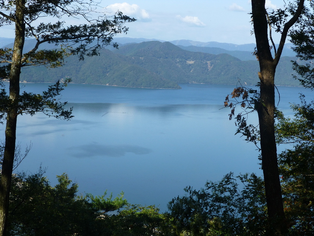
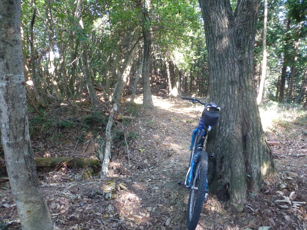
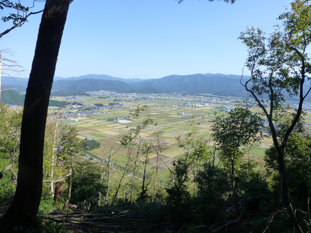
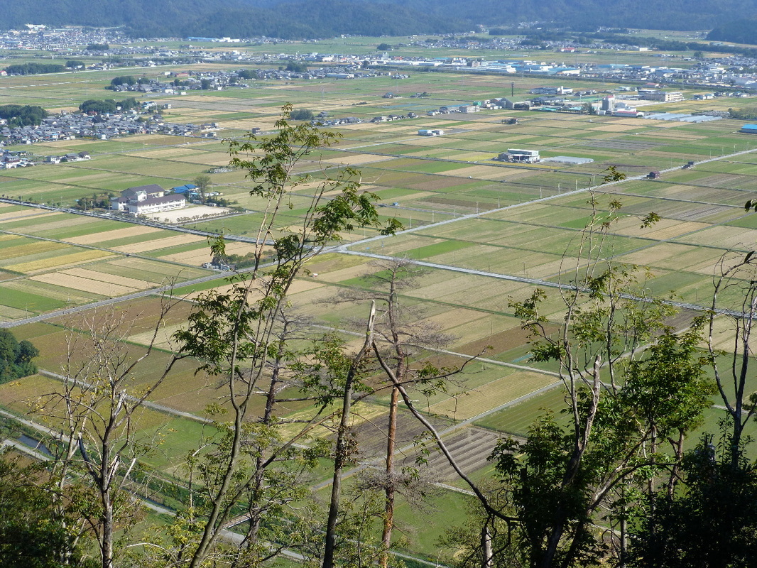
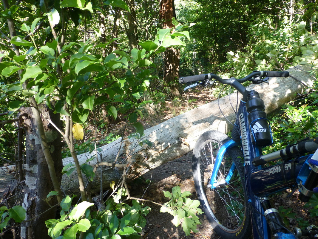
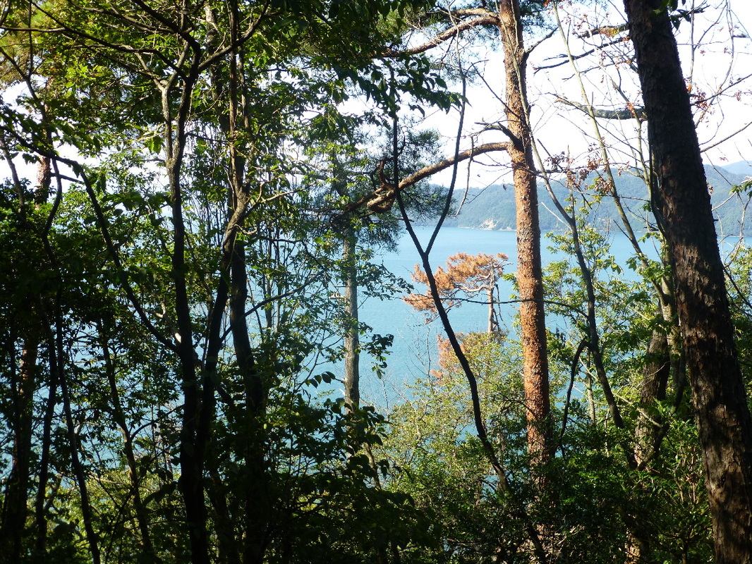
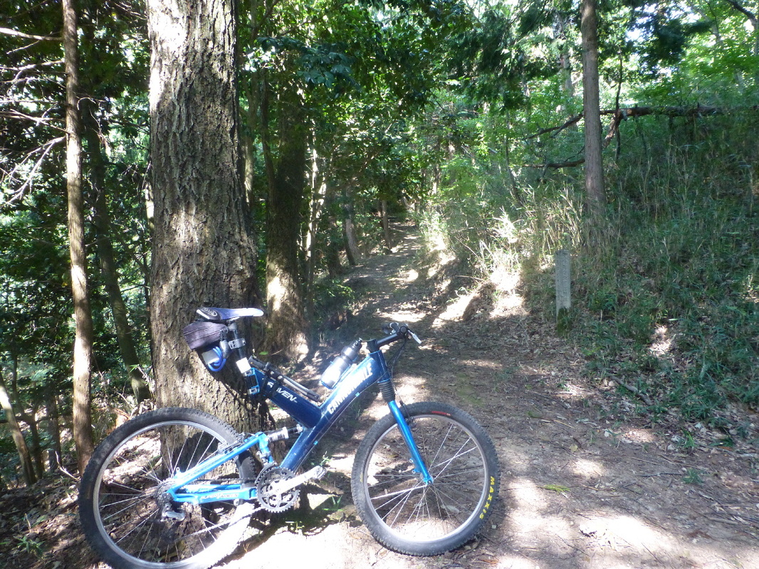
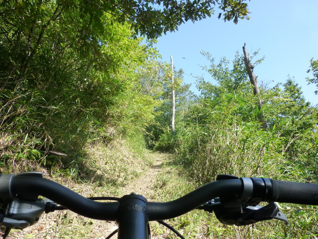
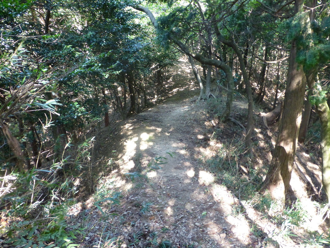
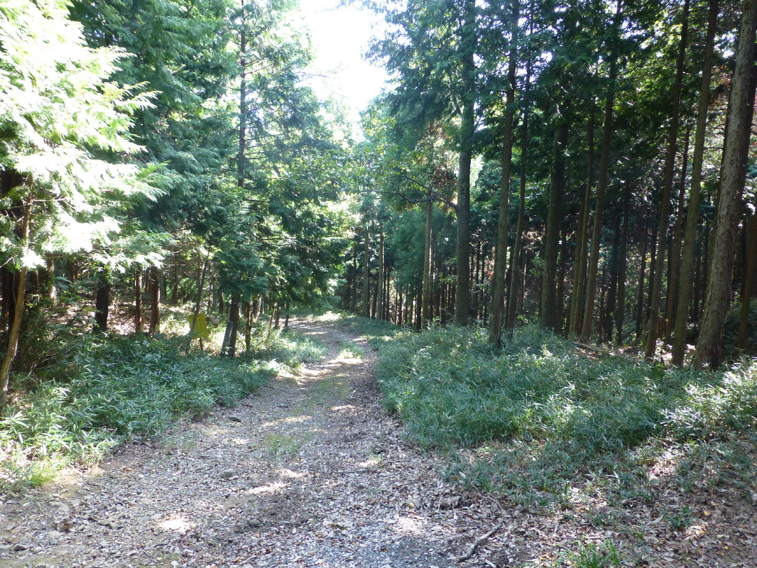
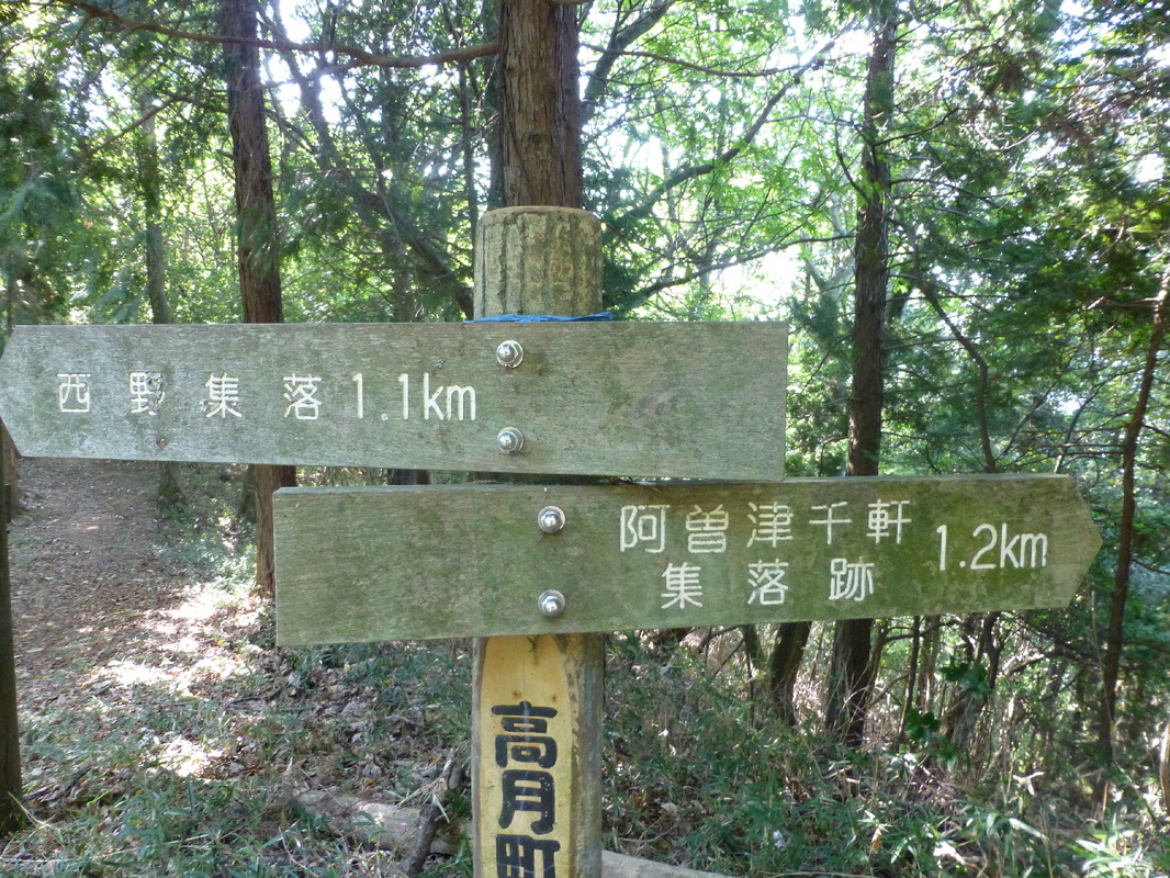
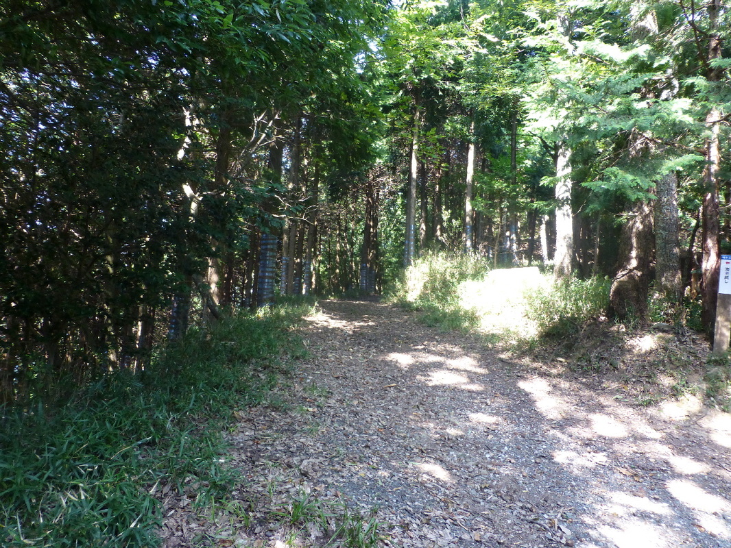
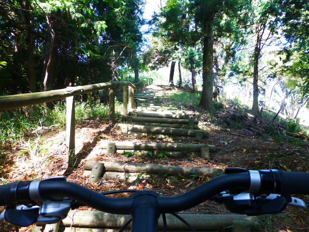
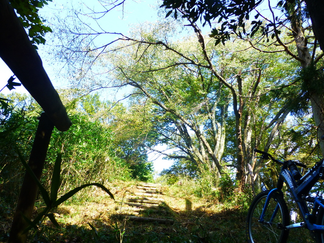
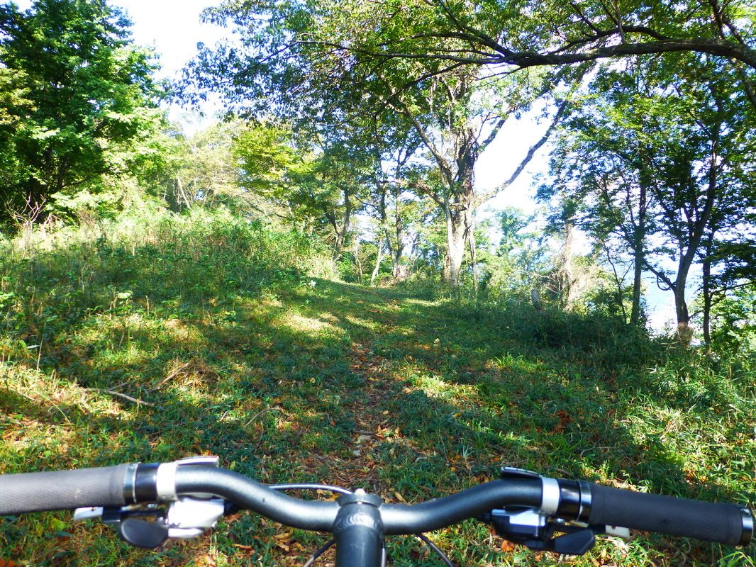
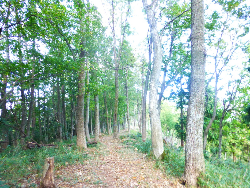
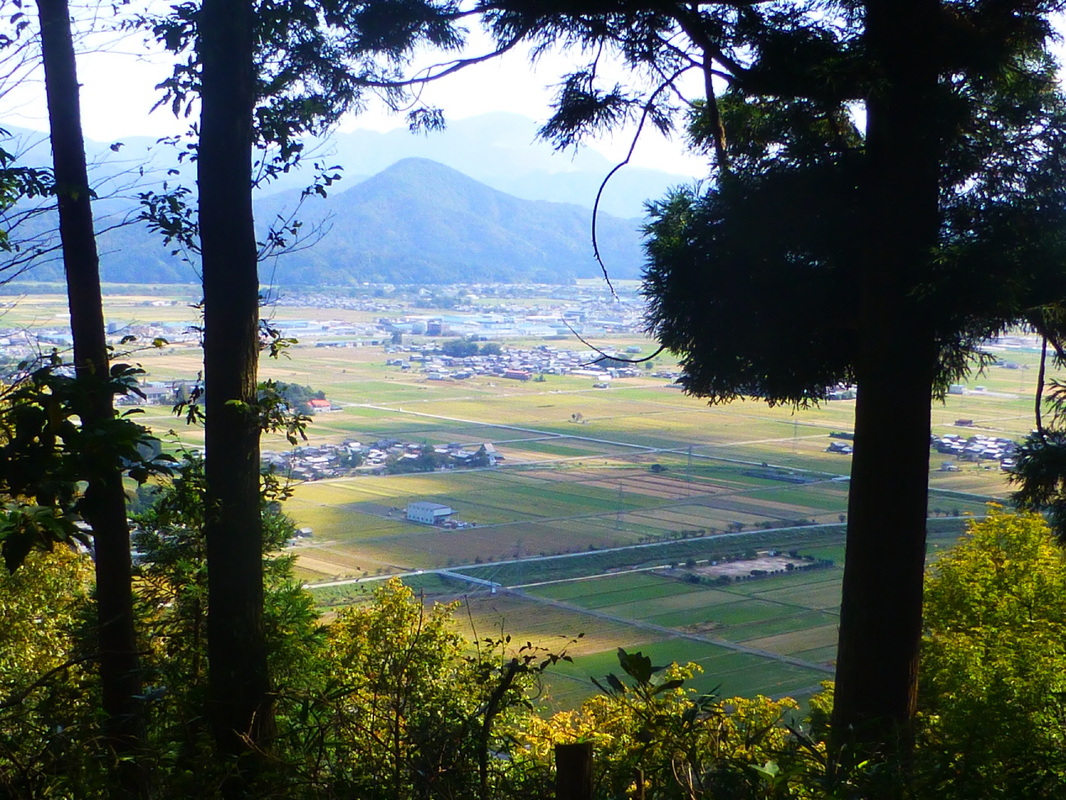
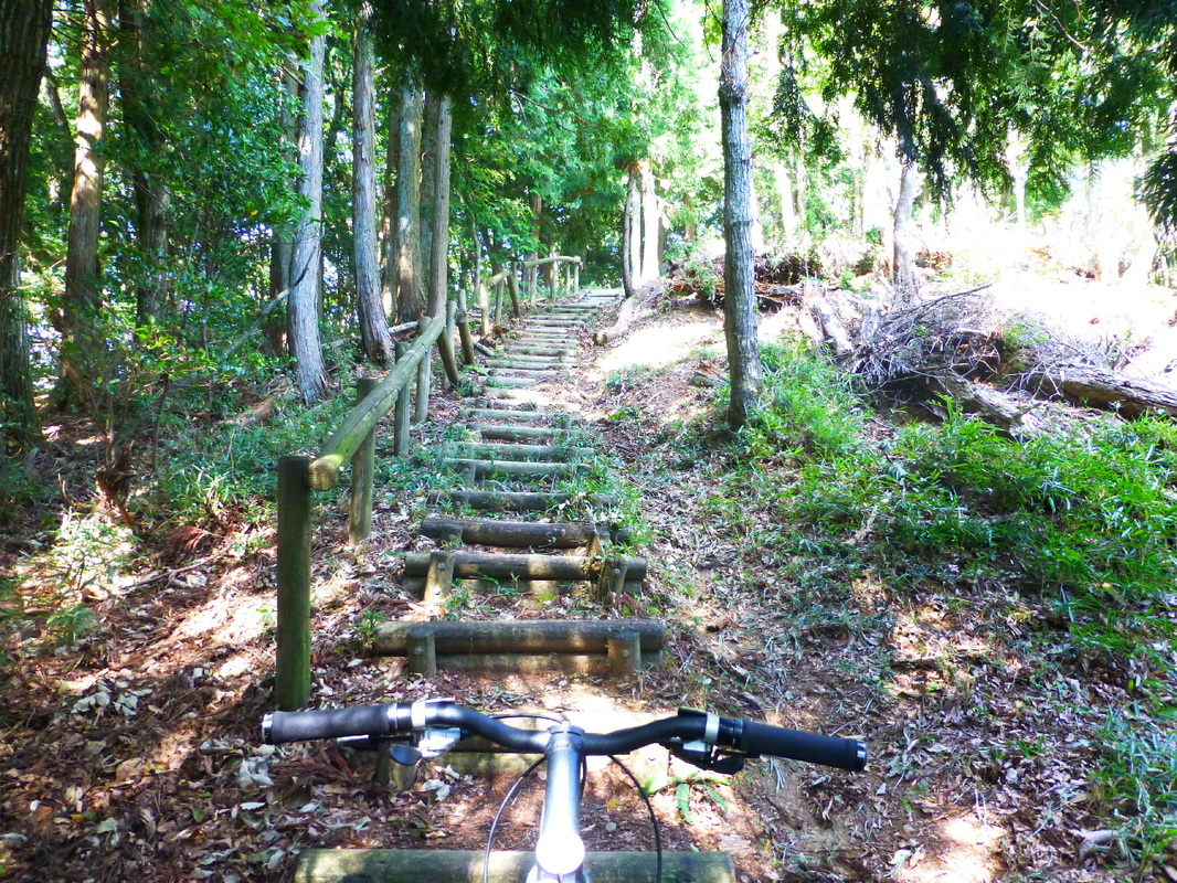
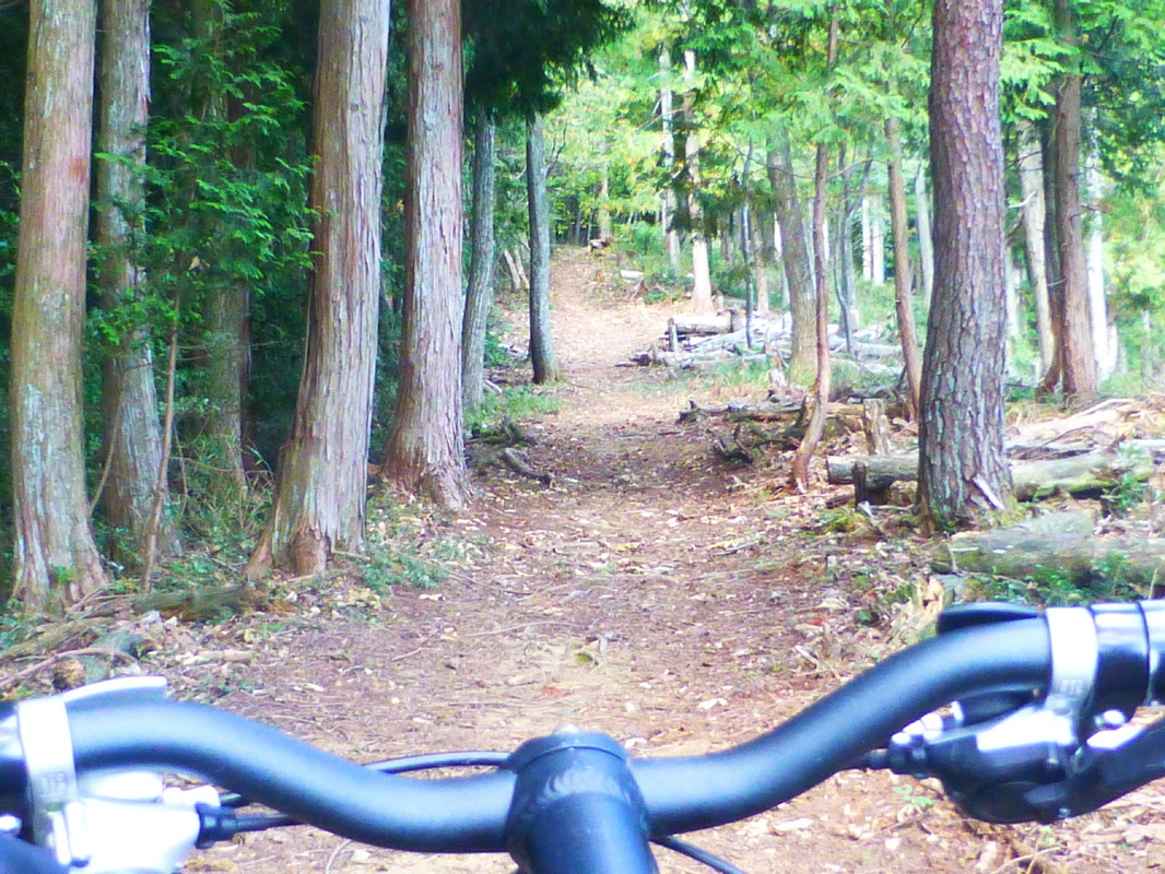
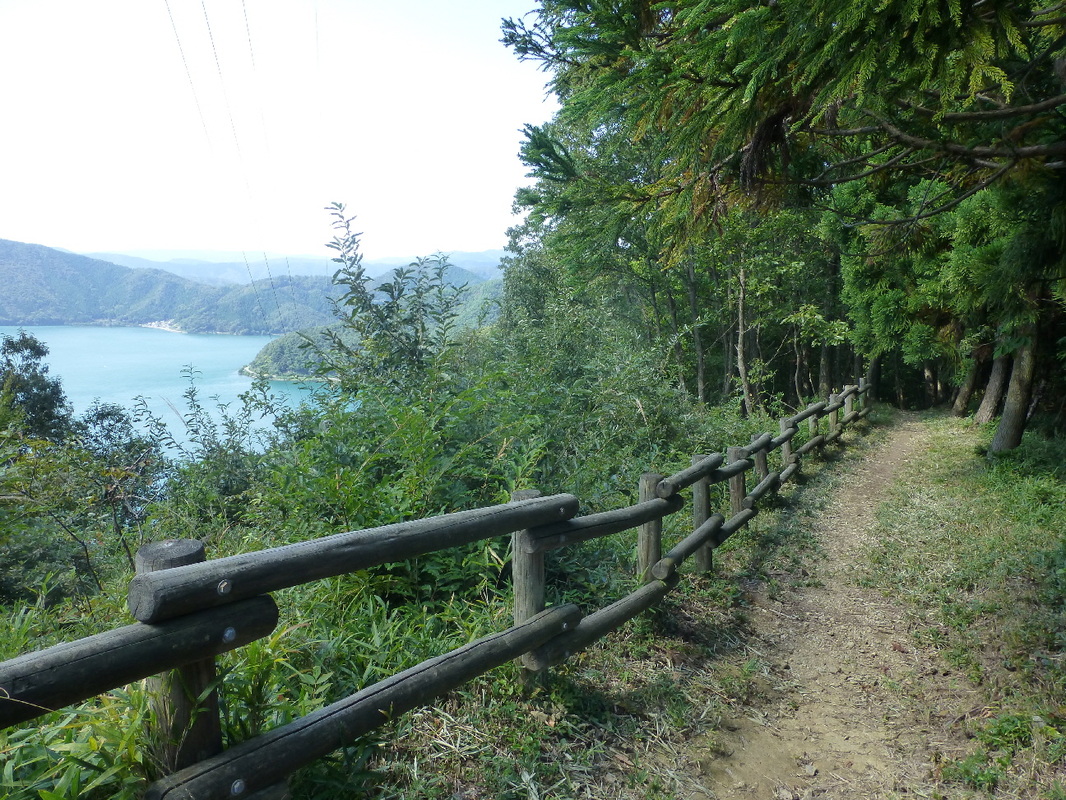
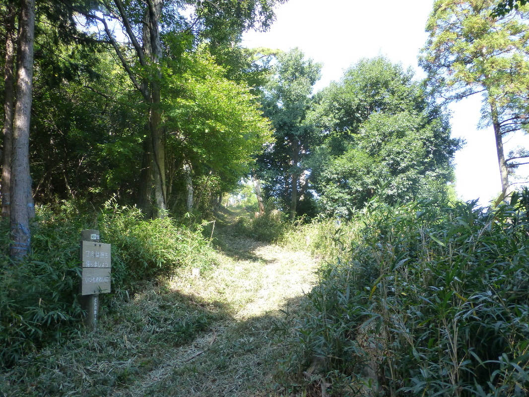
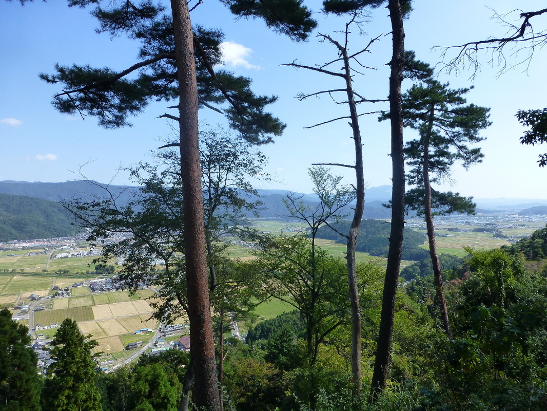
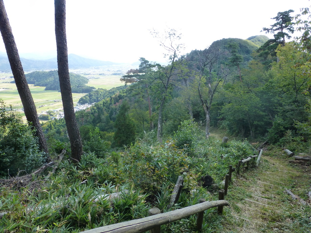
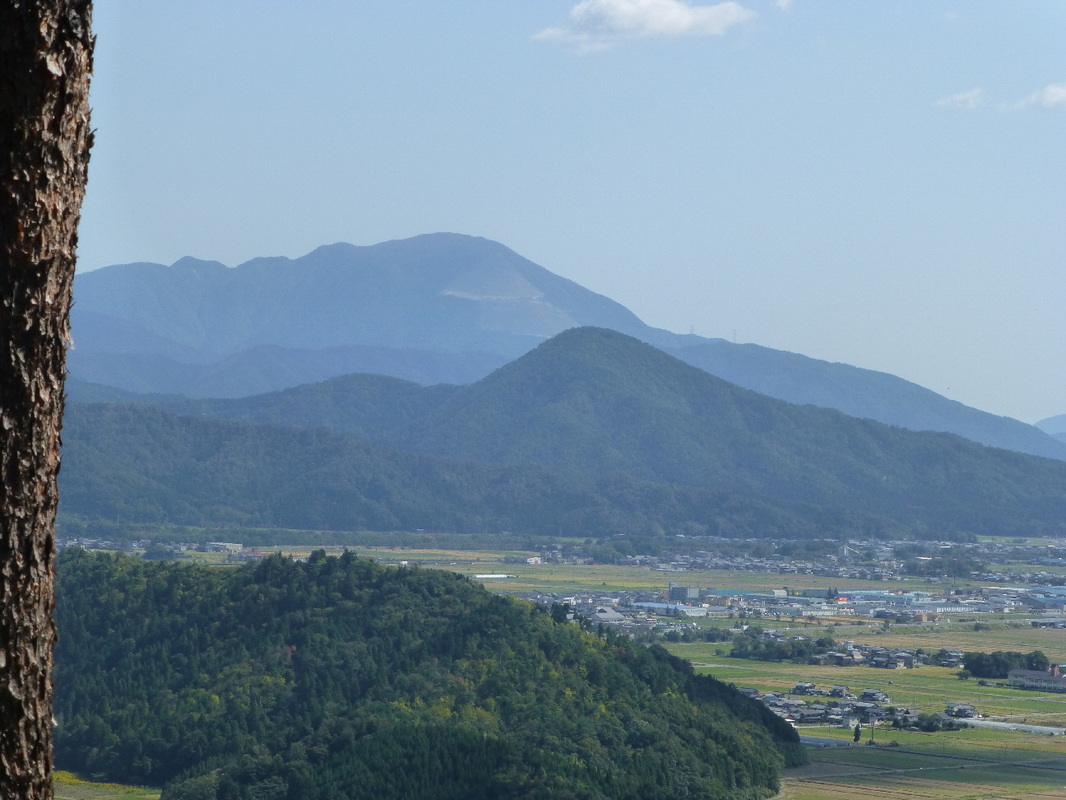
On the northeastern edge of Lake Biwa, Japan's largest lake, I rode all the way along the ridge from Mt. Yamamoto to Mt. Shizugatake and then down to the mountain entrance located near Yogo station. From here, I followed Yogo River at the foot of the mountains back to my car. In all it was a 26 km ride of which 12 km was a single track in the mountains. There are several historical spots in the area, making it an interesting ride. While of course there being a fair bit of pushing and carrying my bike, riding along the single track was a lot of fun and the view from the top of Mt. Shizugatake was fantastic.
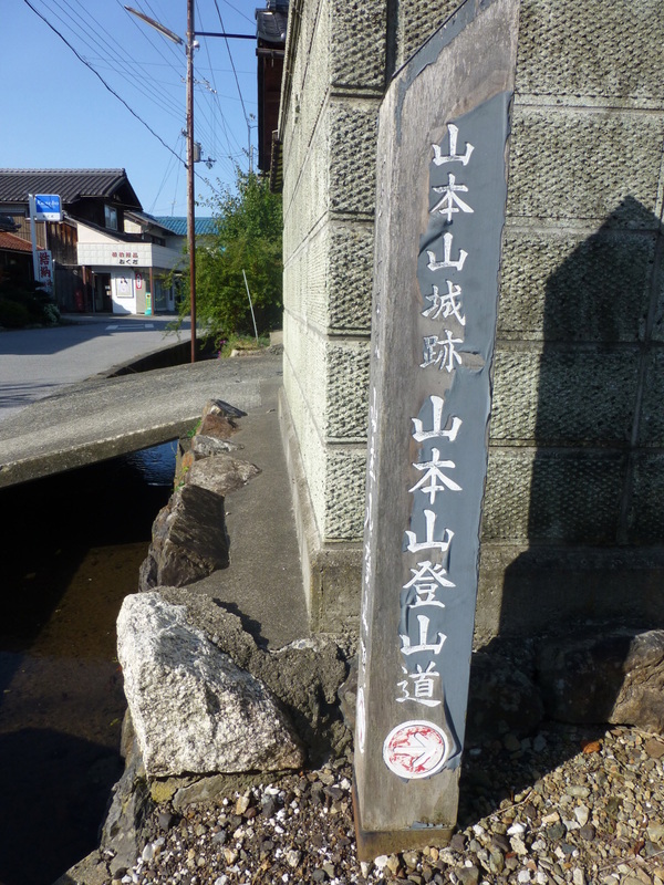
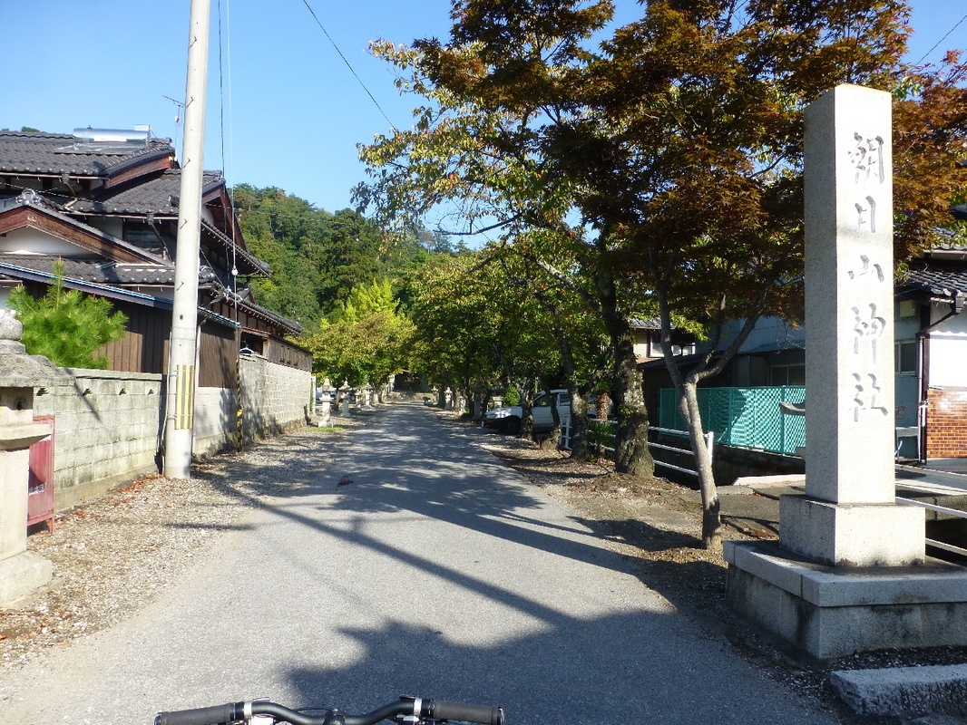
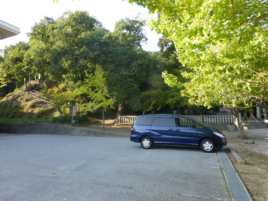
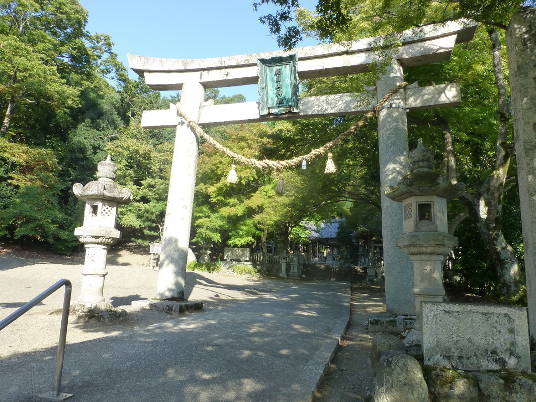
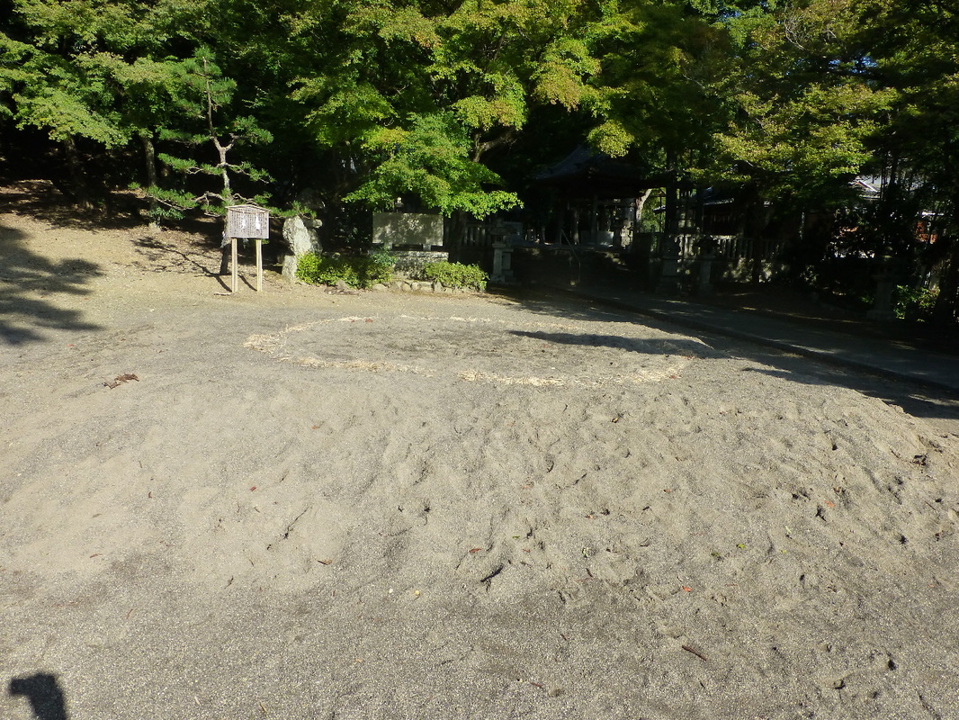
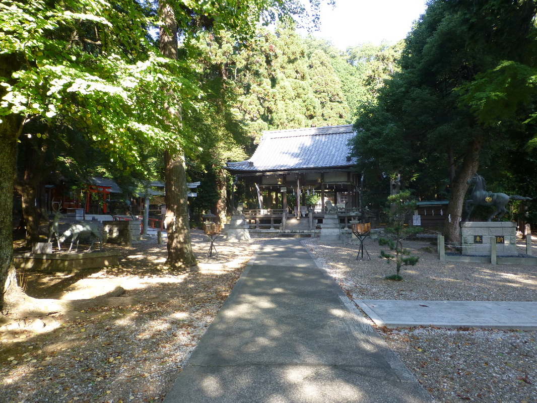
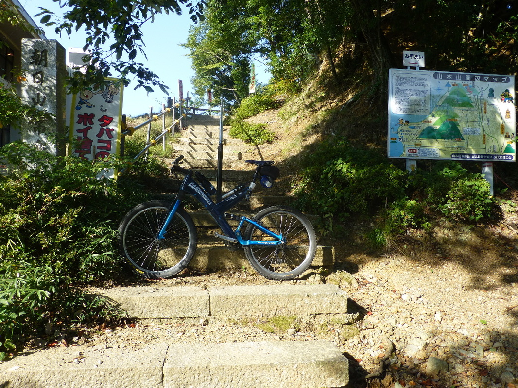
The track entrance that I used was in Asahi Shrine. I don't know if the car park is shared by Asahi Elementary School and Asahi Shrine, but it seems that way. As you can see in the photo, the car park is quite wide. There are places you can park all around the foot of the mountains, but this place is probably one of the safer ones. There was a sumo wrestling mound between the track entrance and Asahi Shrine. I don't know if the elementary school kids use it or if they had a baby sumo crying event here, but it looks like fun. I want to try!!!
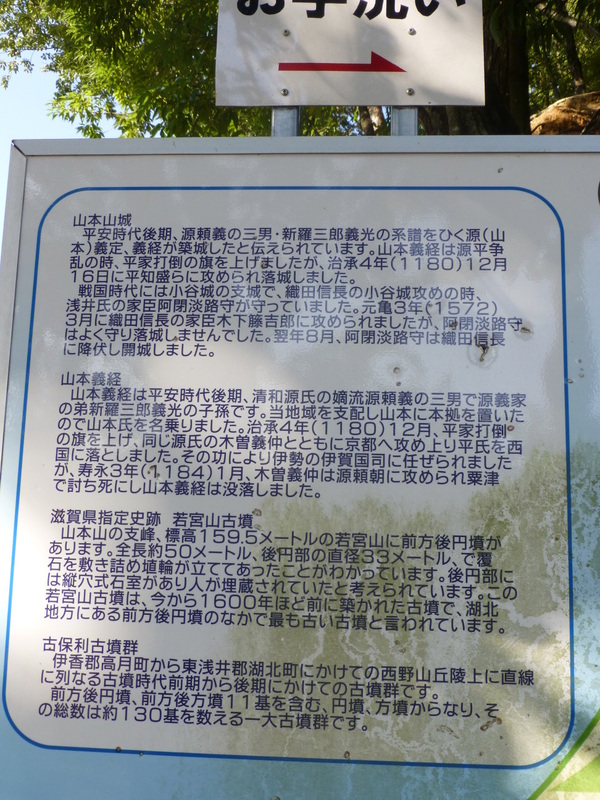
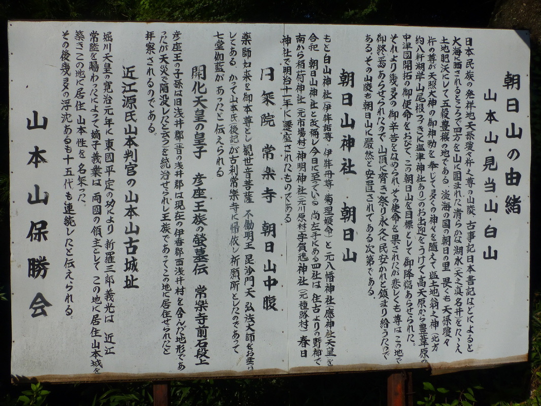
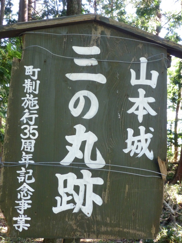
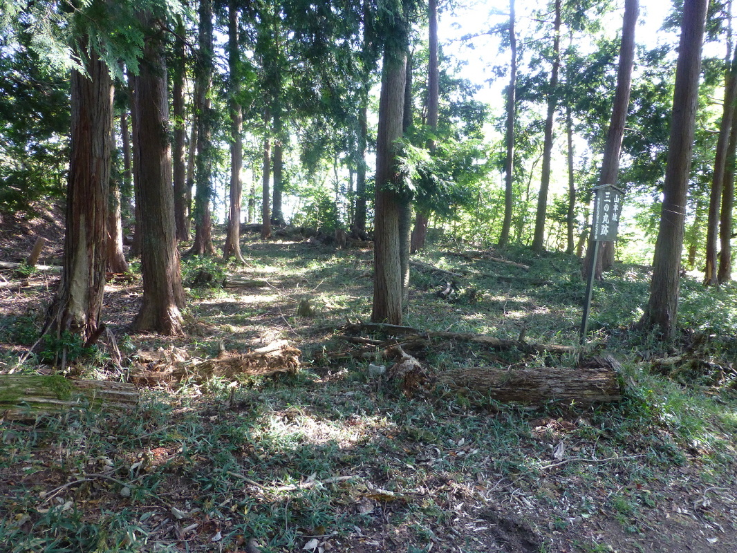
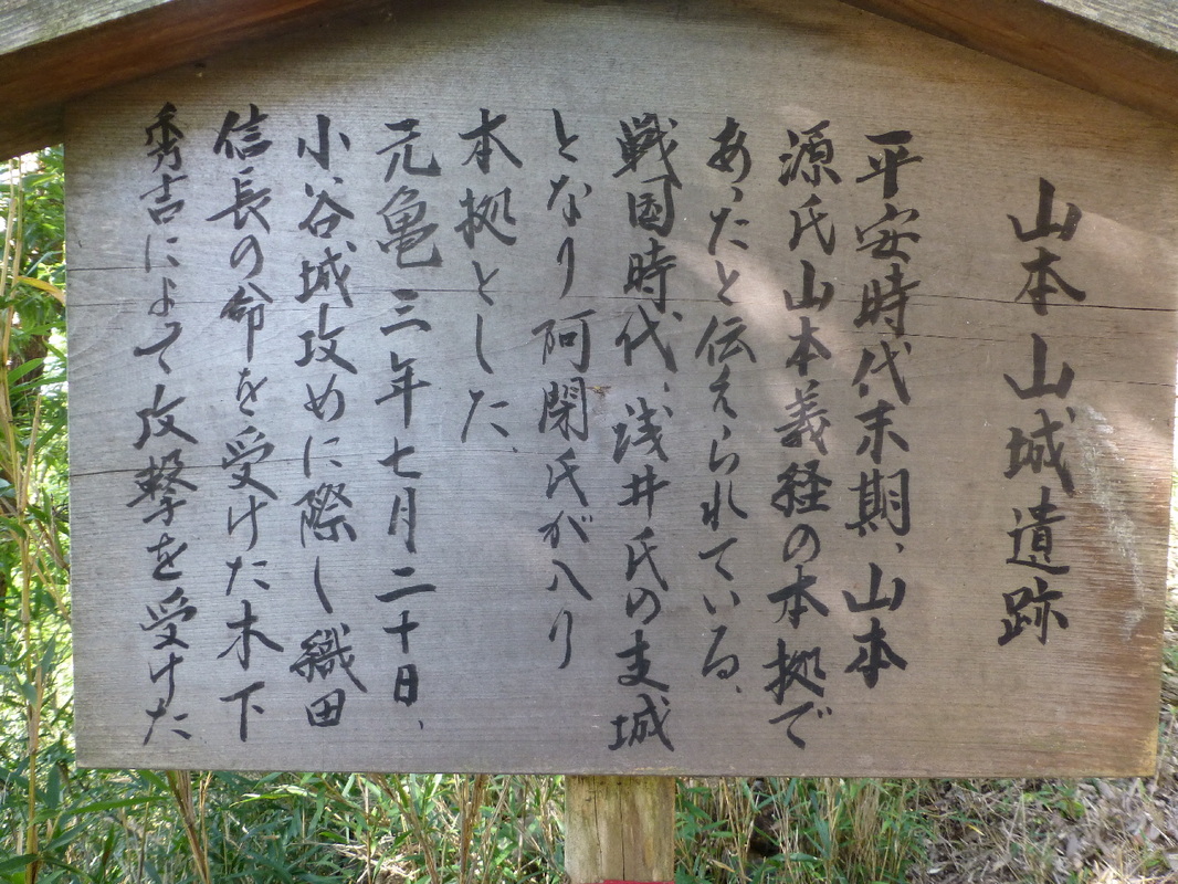
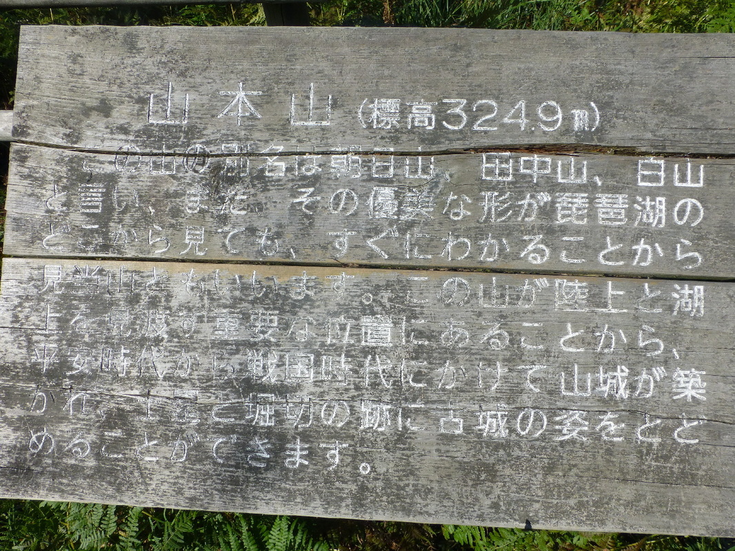
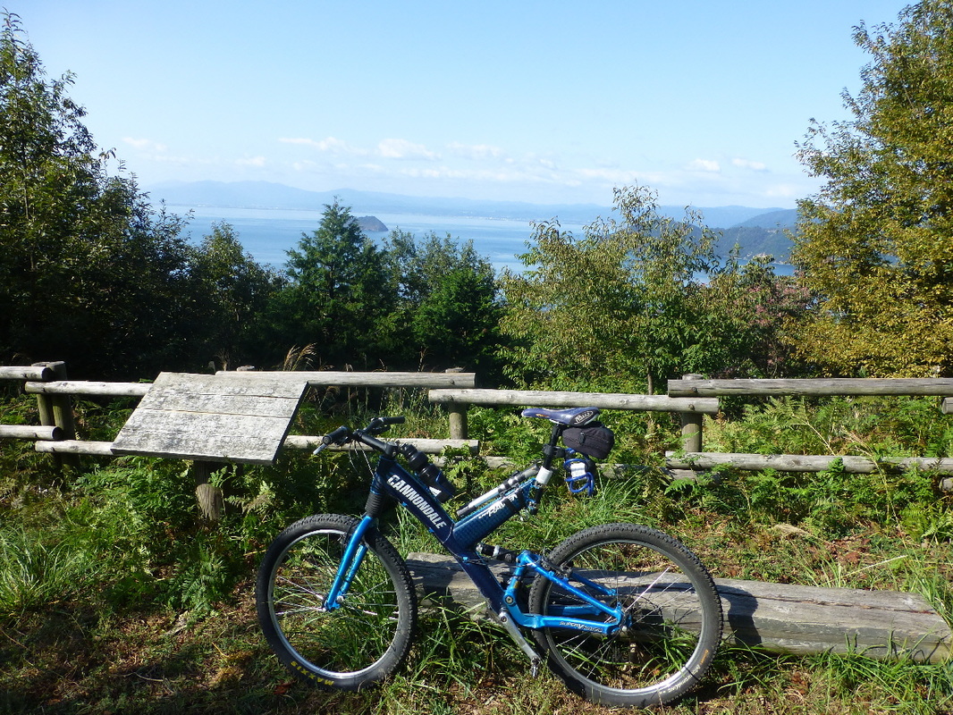
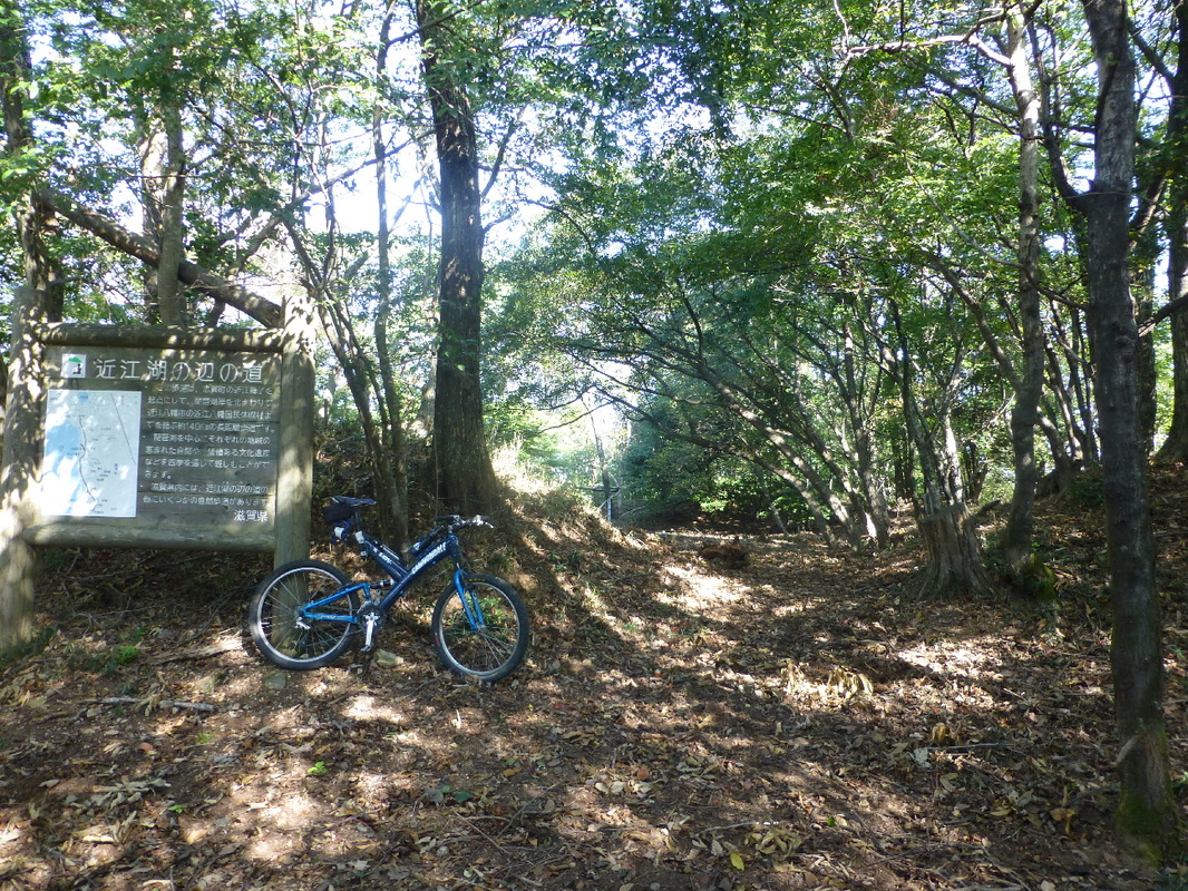
| 山本山 標高324.9m この山の別名は朝日山、田中山、白山といい、またその優美な形が琵琶湖のどこから見てもすぐにわかることから見当山とも言います。この山が陸上を湖上を見渡す重要な位置にあることから、平安時代から戦国時代にかけて山城が気づかれ土塁と堀切の跡に古城の姿をとどめることができます。 Mt. Yamamoto is 324.9 meters high. This mountain is also known as Mt. Asahi, Mt. Tanaka, Mt. Haku. Also, because you can recognize it straight away from anywhere around Lake Biwa due to it's elegant shape, it is also called Mt. Kentou. Because this mountain has an important vantage point looking over both land and lake, it was the location of a mountain castle stretching from the Heian Period to the Sengoku Period and the mound and trench of the old castle still exist. |
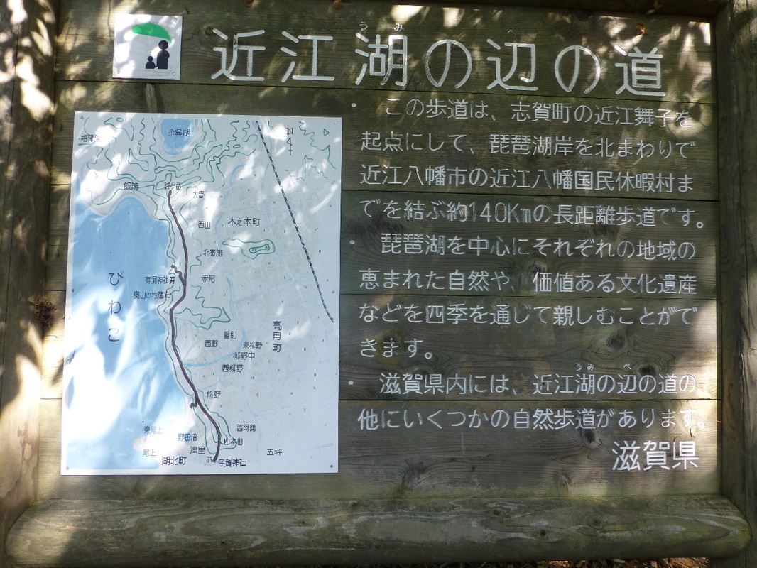
"This walking path is part of the 140 km long path around the northern part of Lake Biwa that starts at Omimaiko in Shiga Town and finishes at Omihachiman Kokumin Kyuuka Village in Omihachiman City. With Lake Biwa at it's center, it abounds in nature and valuable cultural heritage that people can enjoy through the four seasons. There are several other 'Paths Near Lake Omi' nature walks within Shiga Prefecture."
(Omi was the old name for Shiga Prefecture and I assume Lake Omi is another name for Lake Biwa)
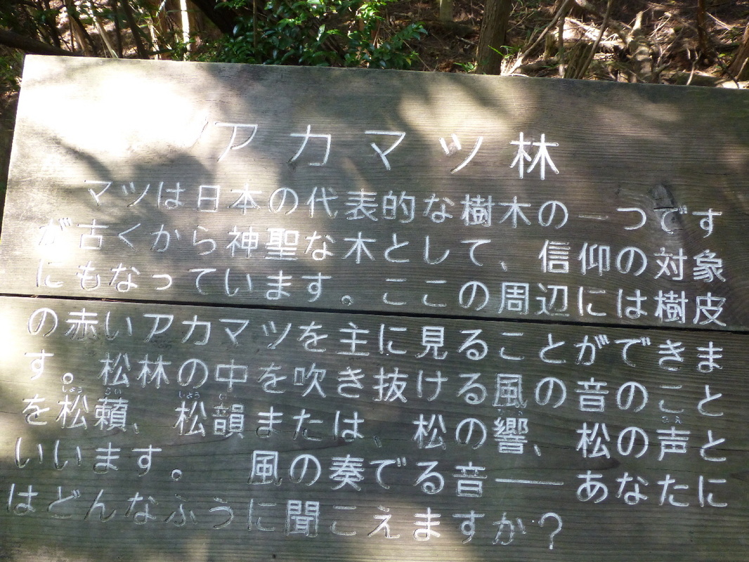
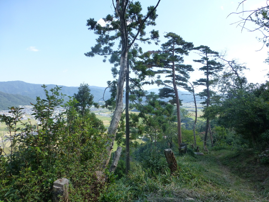
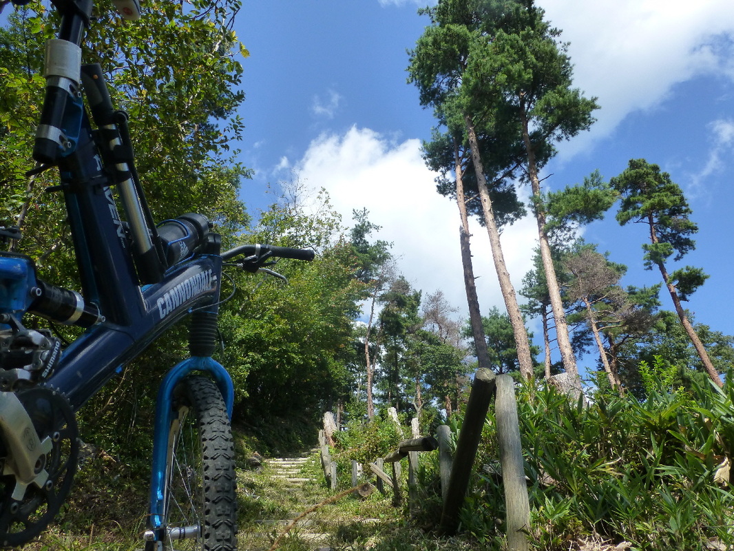
| Red Pine Forest The pine tree is a symbolic tree of Japan. However, as a sacred tree it has been an object of faith since ancient times. In this area, you can mainly see the bark of red pine trees. The sound of the wind blowing through the pine trees is called 'shorai' (soughing / soft rustling) & 'shoin' (music of wind through pine trees) or 'matsu-no-hibiki' (pine echo), & 'matsu-no-koe' (pine voice). What kind or sound is the wind playing for you? |
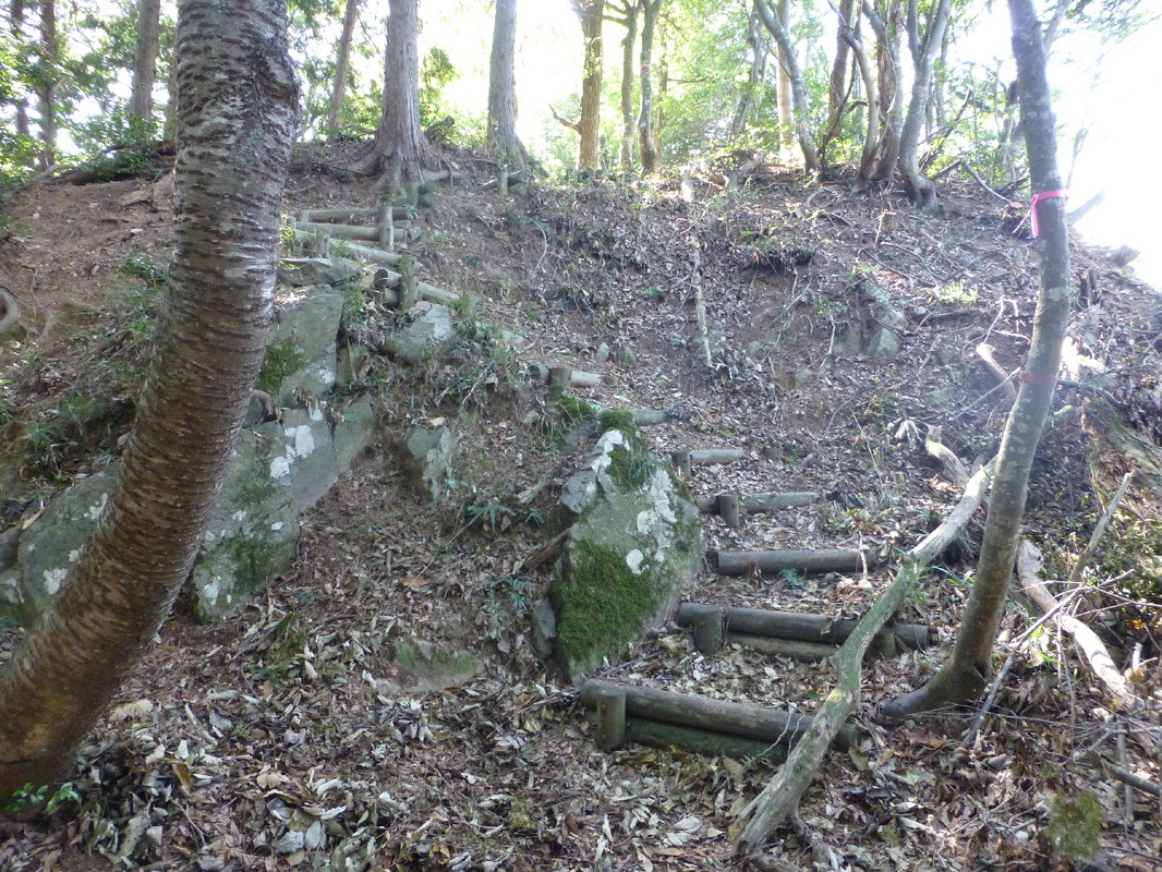
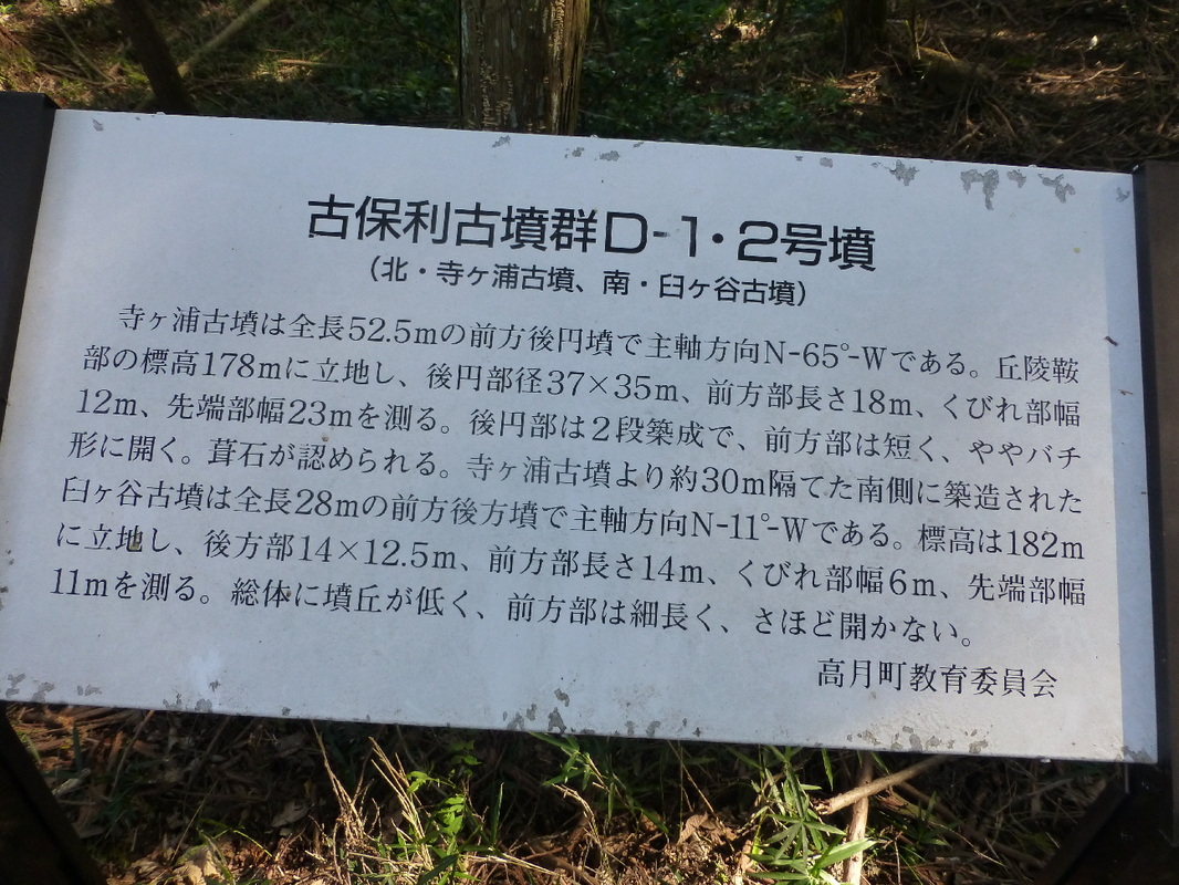
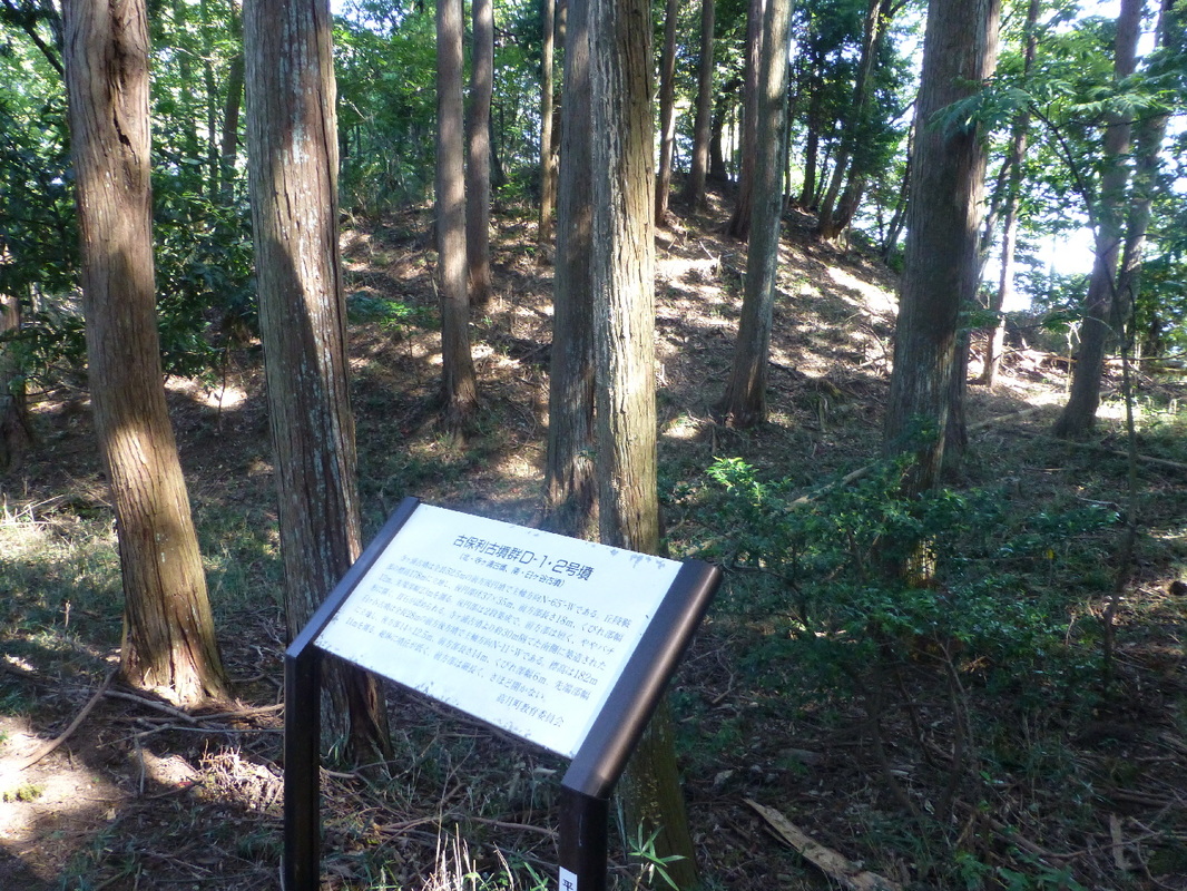
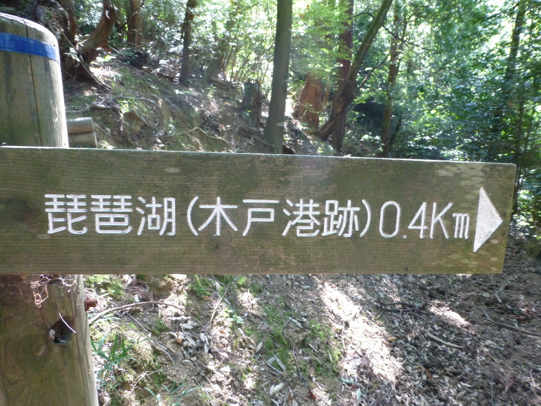
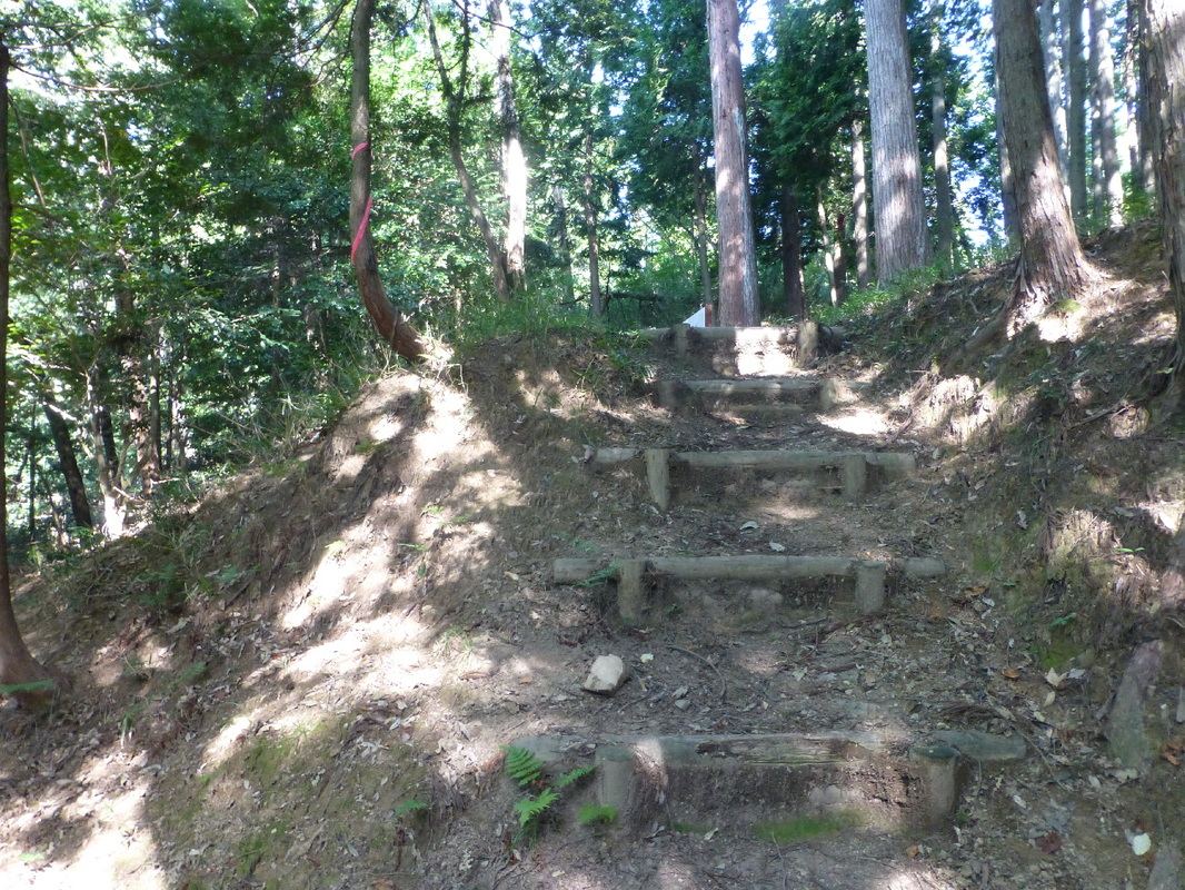
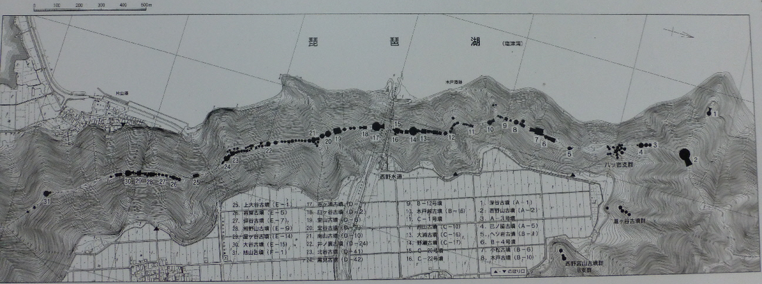
There are 132 known tombs spread out all along the ridge-line between Mt. Yamamoto & Shizugatake. The tombs date from the beginning of the Kofun Period (250 - 538) to the end of the Asuka Period (538 - 710).
There are keyhole-shaped tomb mounds, rectangular-shaped tomb mounds and dome-shaped tomb mounds. The largest tomb is a keyhole-shaped tomb 90 meters in length.
This area was a major hub for the transportation of goods between Lake Biwa and The Sea of Japan (Hokuriku area). Many leaders who took part in managing the transportation on the lake also competed with each other in building tombs (for themselves I guess).




 RSS Feed