山本山→賤ヶ岳→余呉「後編」 Mt. Yamamoto → Mt. Shizugatake → Yogo (Part 2)
Click this link for part 1. Mt. Yamamoto → Mt. Shizugatake → Yogo (Part 1)
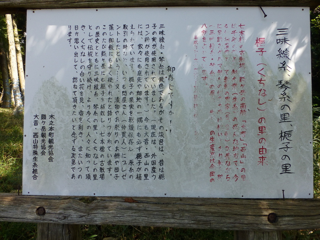
梔子(くちなし)の里の由来
七本槍の古戦場、賤が岳の南麓「大音」「西山」の里は千年の昔より製糸業(生糸)の盛んな地方で、今も地場産業として数軒の農家(5、6軒)が昔ながらに足踏みグルマ製糸の作業を受け継いでおり和楽器(三味線糸・琴糸)の原糸、生糸の生産高は全国の八割を占めています。
三味線糸・琴糸は黄色であるがその染色は、昔は梔子の実が使用されていました。(現在は、外国産ウコン粉が使用されています。)今も大音・西山の里には、家々にも庭先や畑地の一隅にも必ず梔子が植えられています。梔子の果実を乾燥保存し、原糸の取引の時など、いつも原糸の取引の時(仲買人)にプレゼントしたという…又、漬物やお祭りのお餅や団子蒸し御飯にもよく使われたと語りつがれています。このたび賤が岳にも梔子を植栽し、七本槍の古戦場の歴史とともに三味線糸、琴糸の里、くちなしの里として伝統を守り続け、より多くの人々に知って頂き、くちなしの白い花を見、香を利き、またいつの日か思い出して、訪ねて頂きたいと念ずる次第であります。
Shamisen String, Koto String Village, Gardenia Village
The origin of Gardinia Village
The villages of Ooto and Nishiyama at the southern foot of the old battleground of 'the Seven Spears', Mt. Shizugatake, was a flourishing silk spinning industry from around 1,000 years ago. Even now, as a local industry, about 5 or 6 farmhouses continue to spin silk with traditional foot pedal spinning machines and occupy 80% of the Japanese market in producing raw silk yarn for traditional Japanese musical instrument strings (shamisen & Koto).
The color of shamisen and koto strings are yellow and in ancient times the dye for them was made from the fruit of the gardenia tree. (Now-a-days foreign produced turmeric is used.) Even now, in the villages of Ooto & Nishiyama, every house, without fail, has gardenia trees growing in the garden and in the corners of the fields. It is said that the fruit of the gardenia was preserved through drying and when trading the raw thread, they always presented these to the brokers. Stories have been passed down of them also pickling them and using them in festival rice cakes and steamed dumpling rice. We want to keep the tradition the 'shamisen, koto village' and 'gardenia village' has of growing gardinia at Mt. Shizugatake along with the history of the 'battleground or the seven spears' and teach this to many people. We hope you see the white flowers of the gardenia and smell their fragrance and some time, remember these.
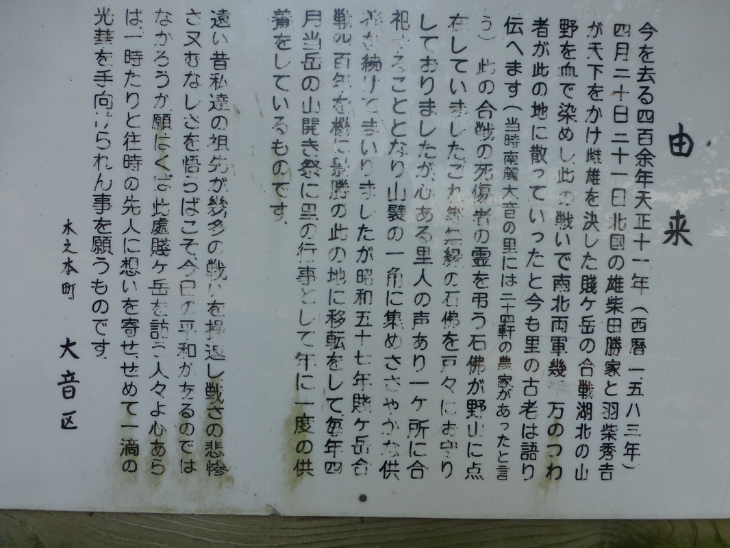
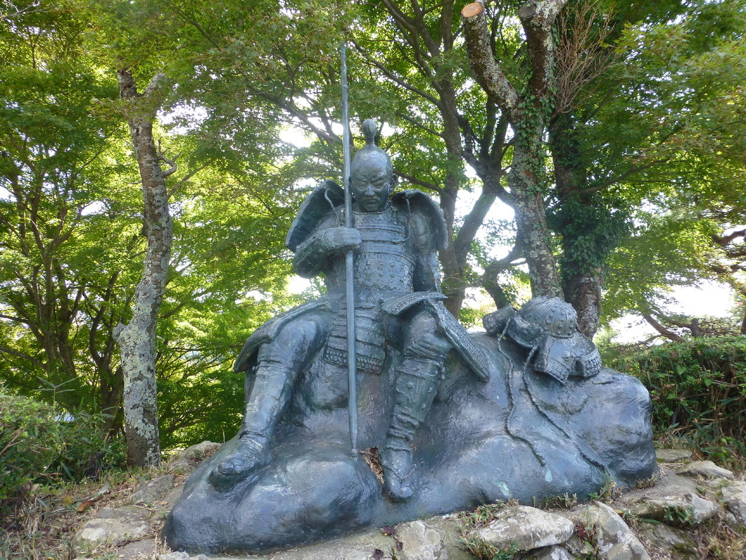
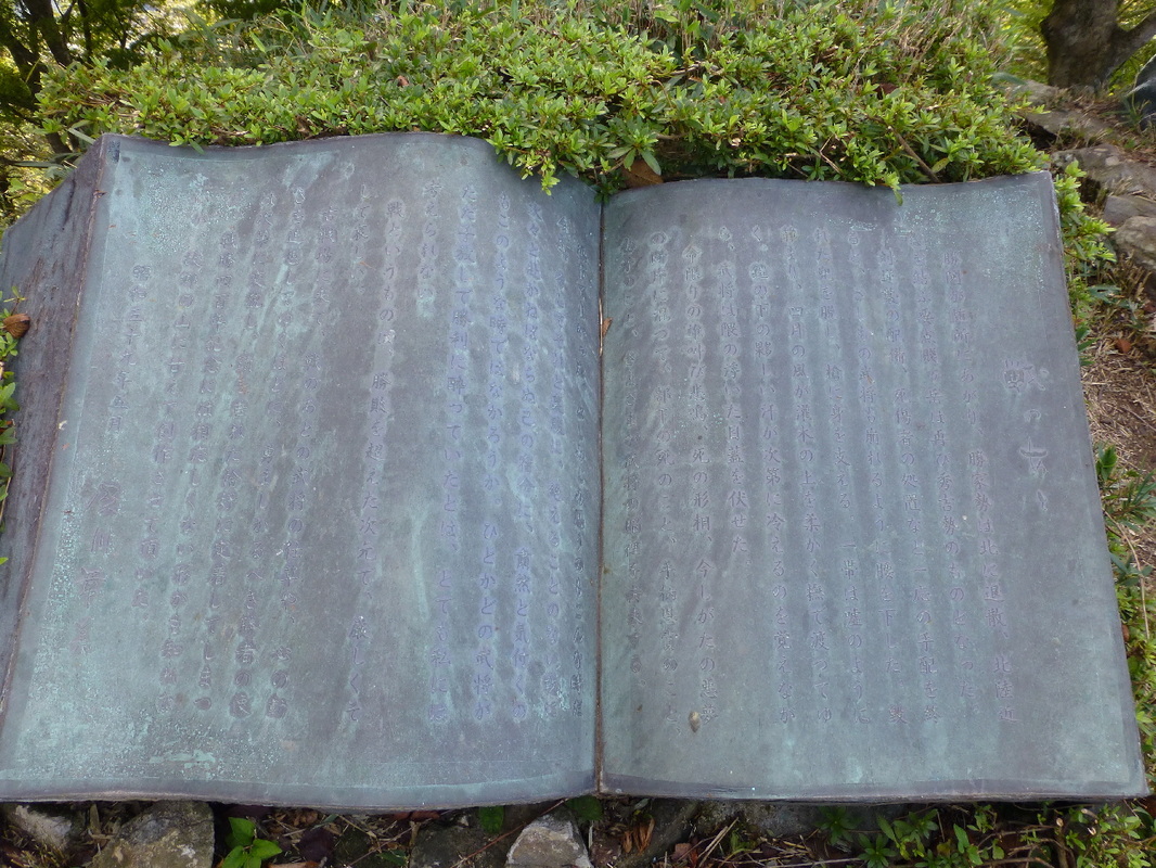
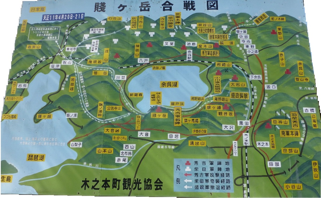
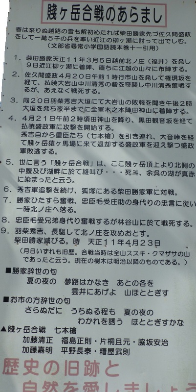
今を去る四百余年天正十一年(1583)四月二十日~二十一日北国の雄柴田勝家と羽柴秀吉が天下をかけ雌雄を決した賤ヶ嶽の合戦湖北の山野を血で染し、
この戦いで南北両軍幾万のつわ者が,この地に散っていったと今も里の古老は語り伝えます。
(当時南麓大音の里には二十四軒の農家があったと言う)
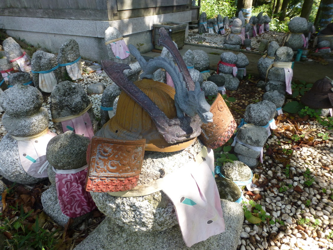
この合戦の死傷者の霊を弔う石佛が野山に点在していました。
これ等無縁の石佛を戸々にお守りしておりましたが、心ある里人の声あり一ヶ所に合祀することになり山襞の一角に集めささやかな供養を続けてまいりましたが昭和五十七年賤ヶ嶽合戦四百年を機に,景勝のこの地に移転をして毎年四月当岳の山開き祭に里の行事として年に一度の供養をしているものです。
遠い昔私達の祖先が幾多の戦いを繰返しこの悲惨さ又むなしさを悟らばこそ、今日の平和があるのではなかろうか。
願は此處賤ヶ岳を訪う人々よ心あらば一時たりと徍時の先人に思いを寄せ、せめて一滴の光華を手向けられん事を願うものです。
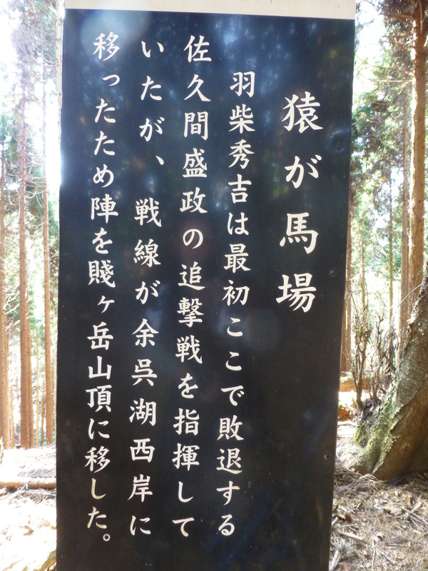
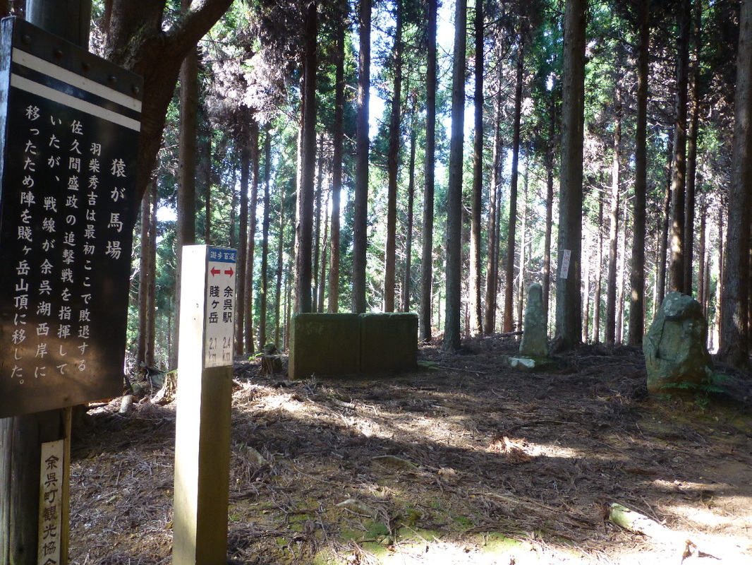
It was understood that Hideyoshi was at least four days' march away during Sakuma's attack. However, as soon as Hideyoshi learned of Sakuma's actions he led his men on a forced march through the night and reached Shizugatake within a day and a half. Hearing that Hideyoshi was coming with reinforcements, Sakuma ordered his men to break the siege lines and prepare to defend themselves. By this time it was too late and Hideyoshi's forces easily smashed through the defenses of the besieging army.
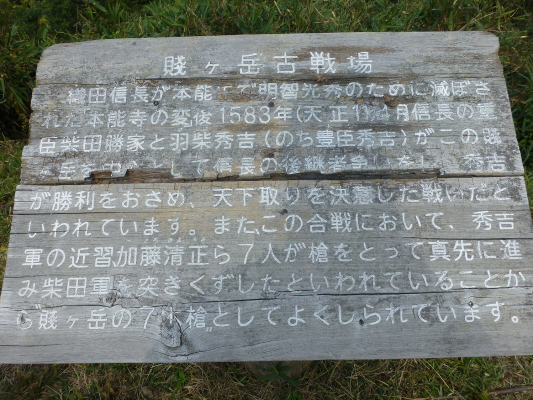
Hideyoshi's chief seven generals in the battle at Shizugatake earned a great degree of fame and honor, and came to be known as the 'shichi-hon yari' or 'Seven Spears' of Shizugatake.
(From Wikipedia - Battle of Shizugatake)
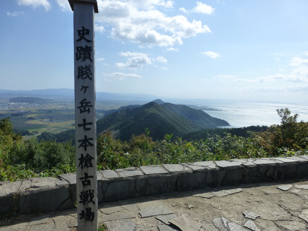
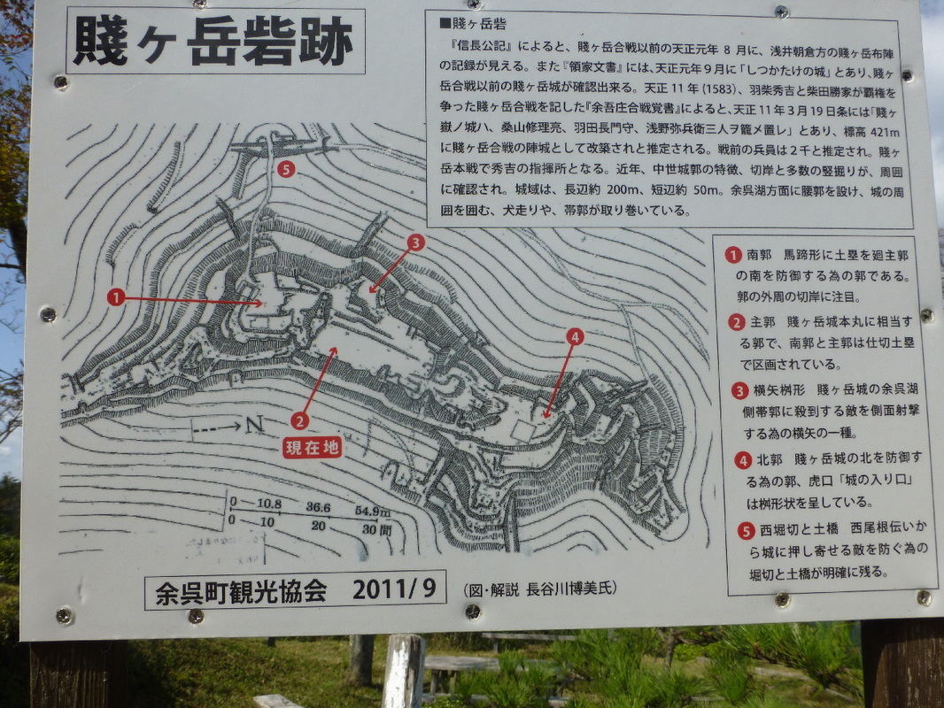
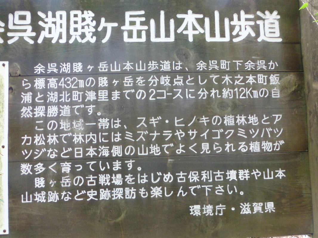
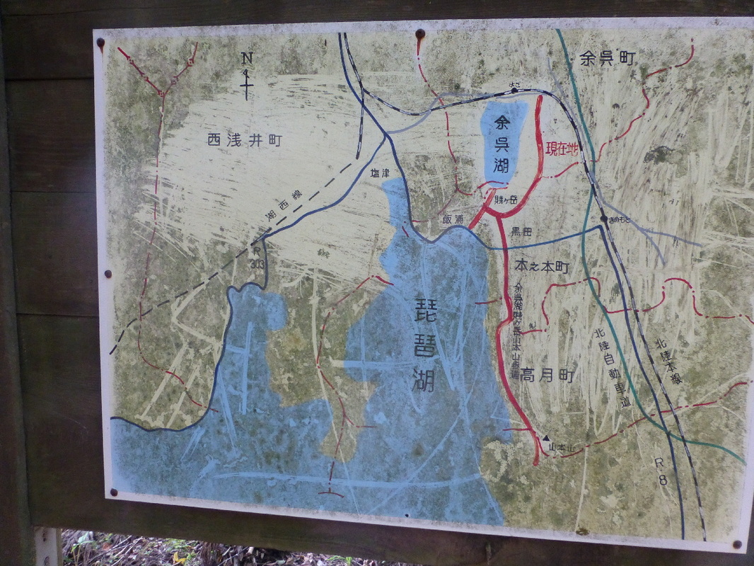
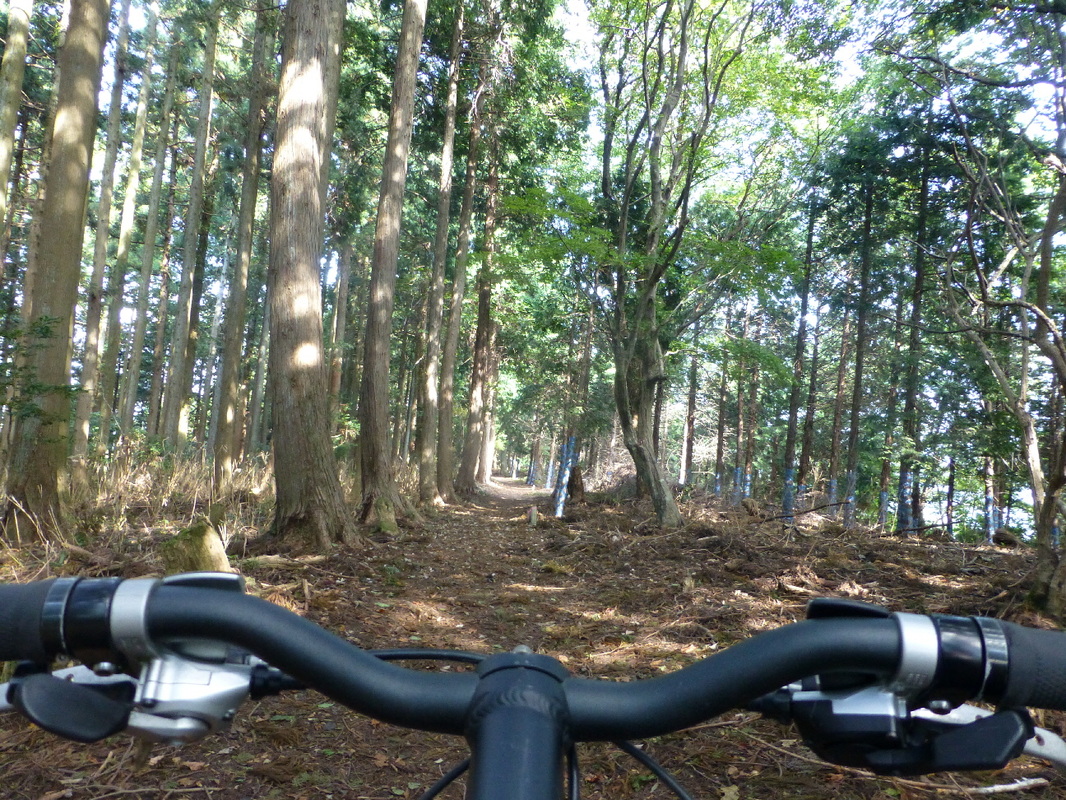
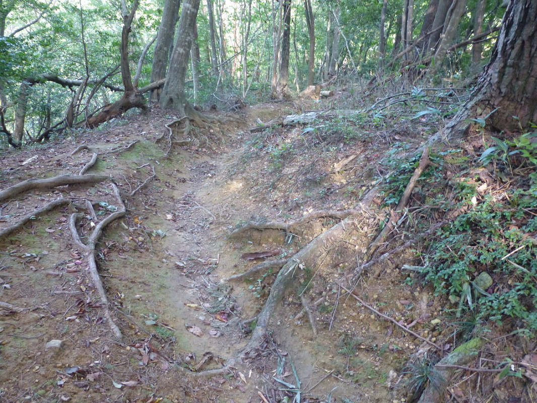
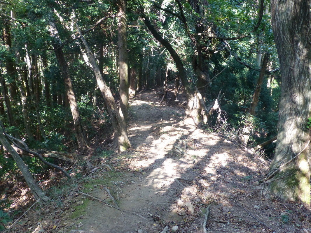
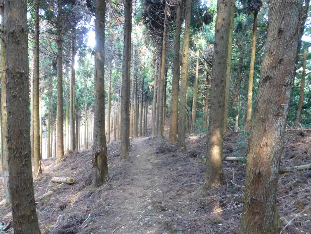
The Yogo / Mt. Shizugatake main hiking trail is a 12km nature sightseeing trail that is split into 2 parts from Shimoyogo, Yogo Town to Hannoura, Kinomoto Town and Tsunosato, Kohoku Town with the 432 meter high Mt. Shizugatake acting as a junction.
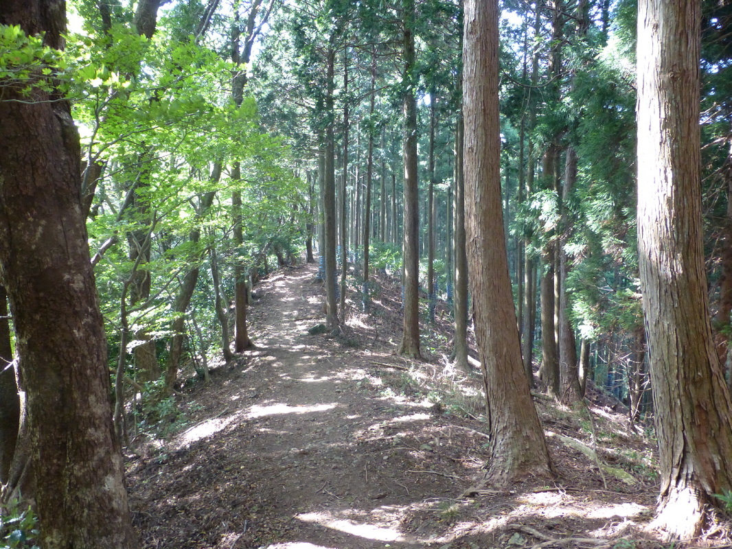
In this entire region there are cedar & cypress plantations as well as red pine forests and within these you can see plants that grow in abundance on the Japan Sea side such as 'mizu-nara' (Japanese oak) and 'saigokumitsuba azalea' (Rhododendron nudipes).Please enjoy seeing the historical sights such as the old Mt. Shizugatake battleground, the Kohori Tomb Group and the Mt. Yamamoto Castle site.
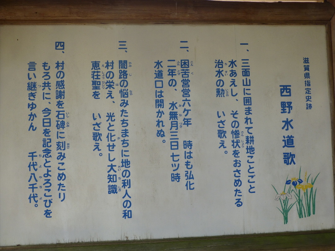
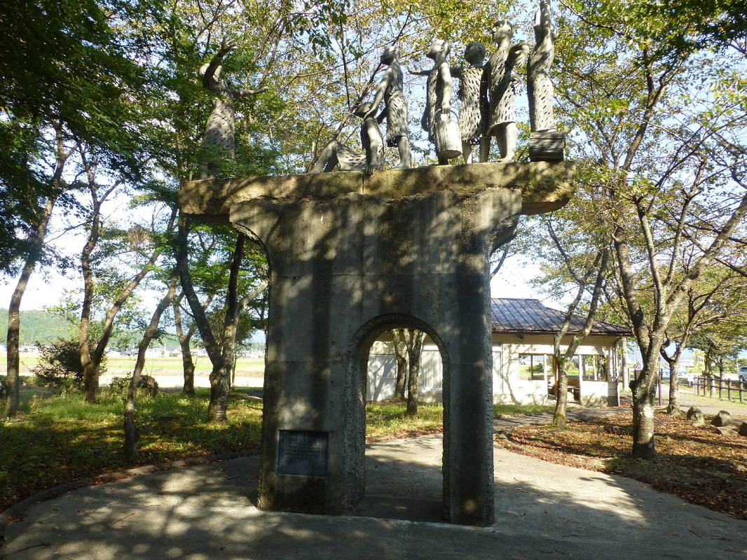
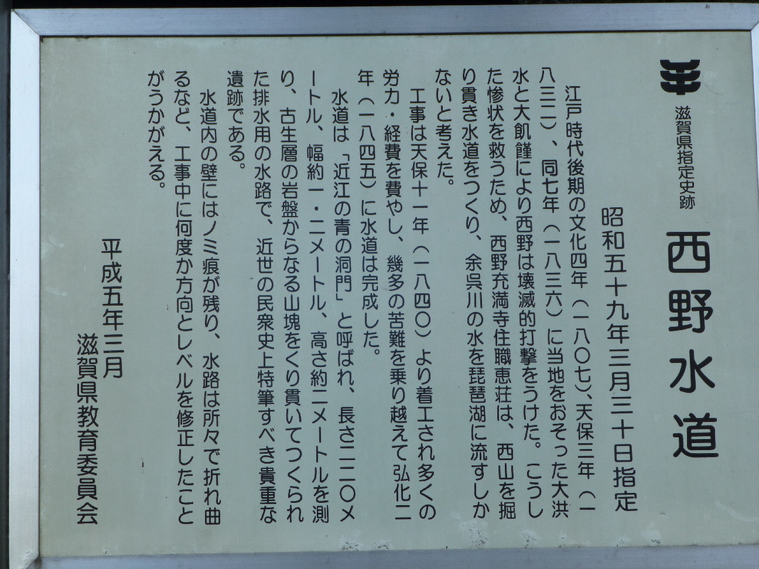
Designated as a Shiga Prefectural Historical Site on March 30, 1984
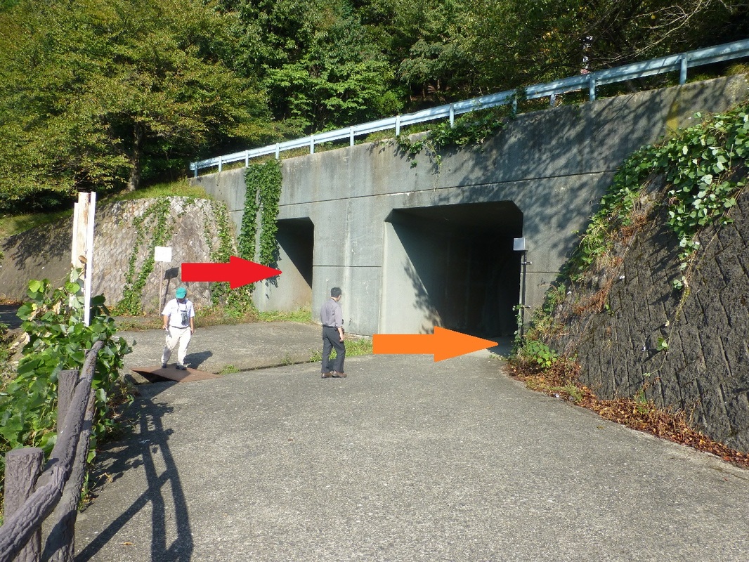
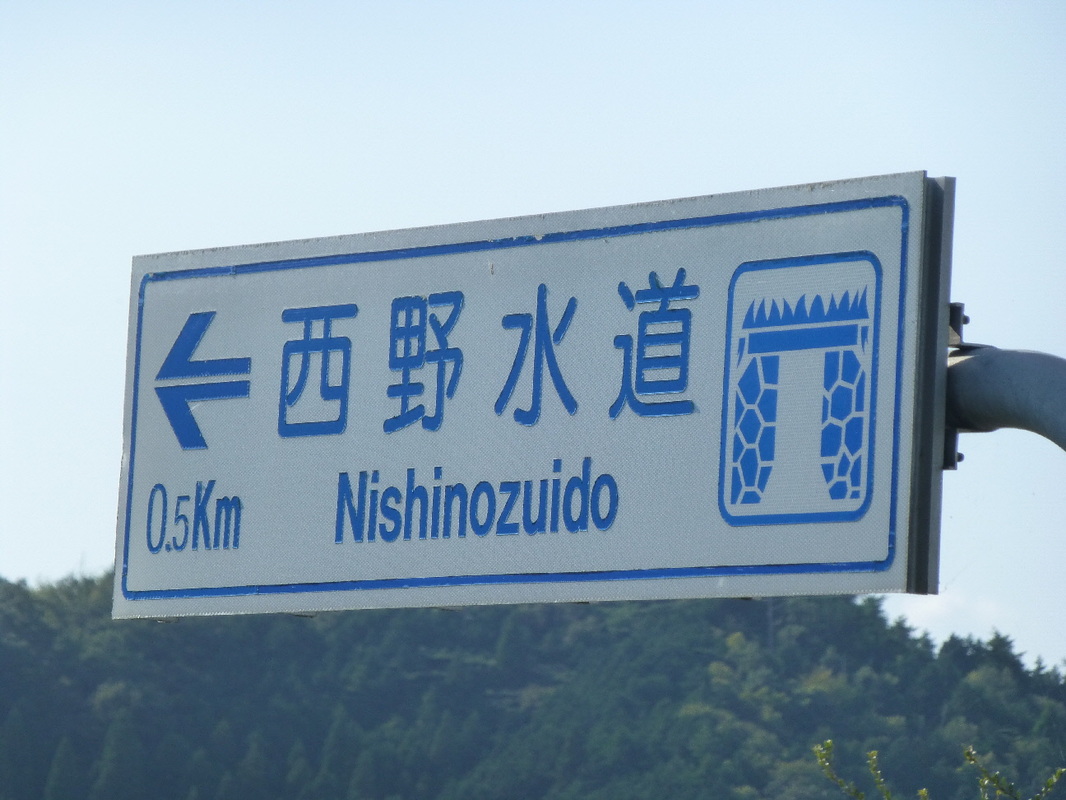
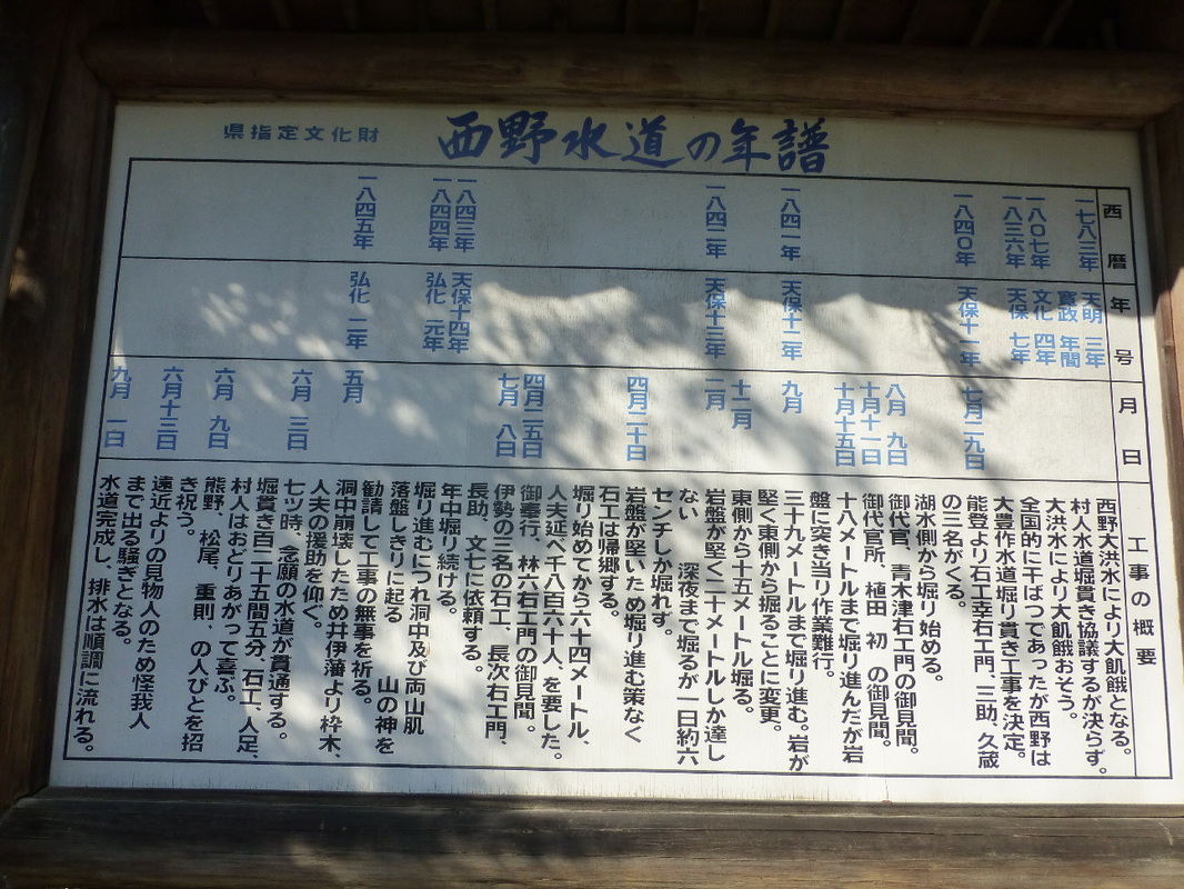
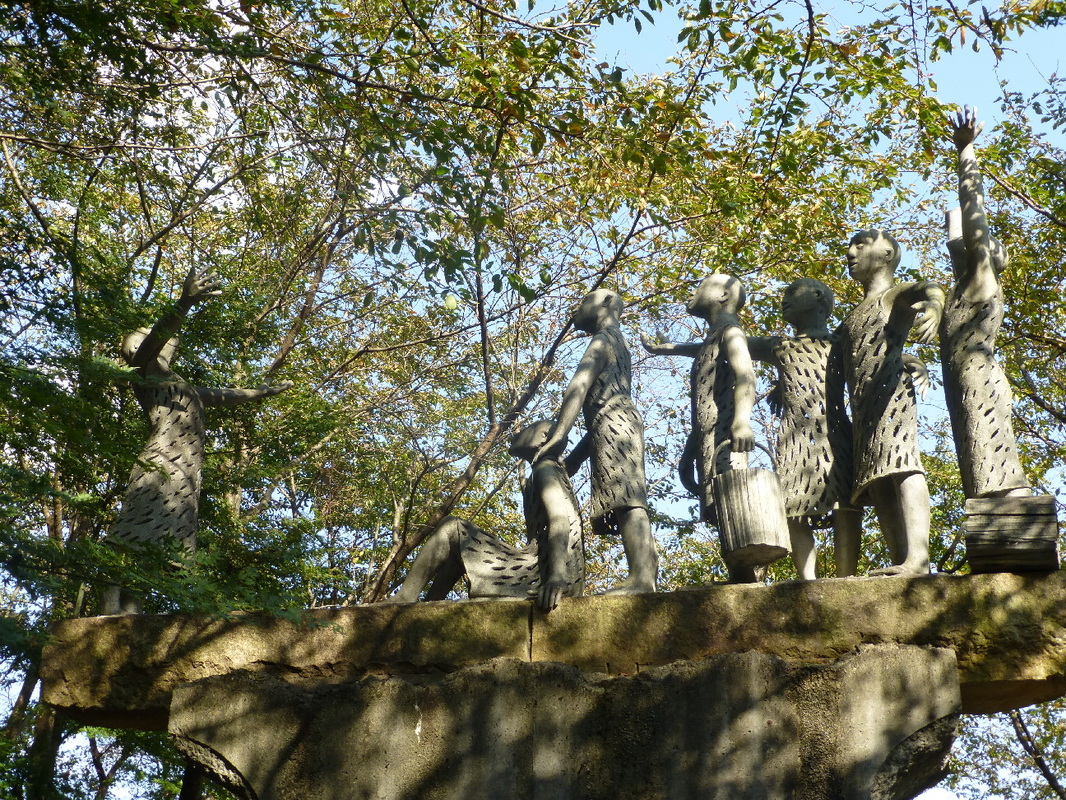
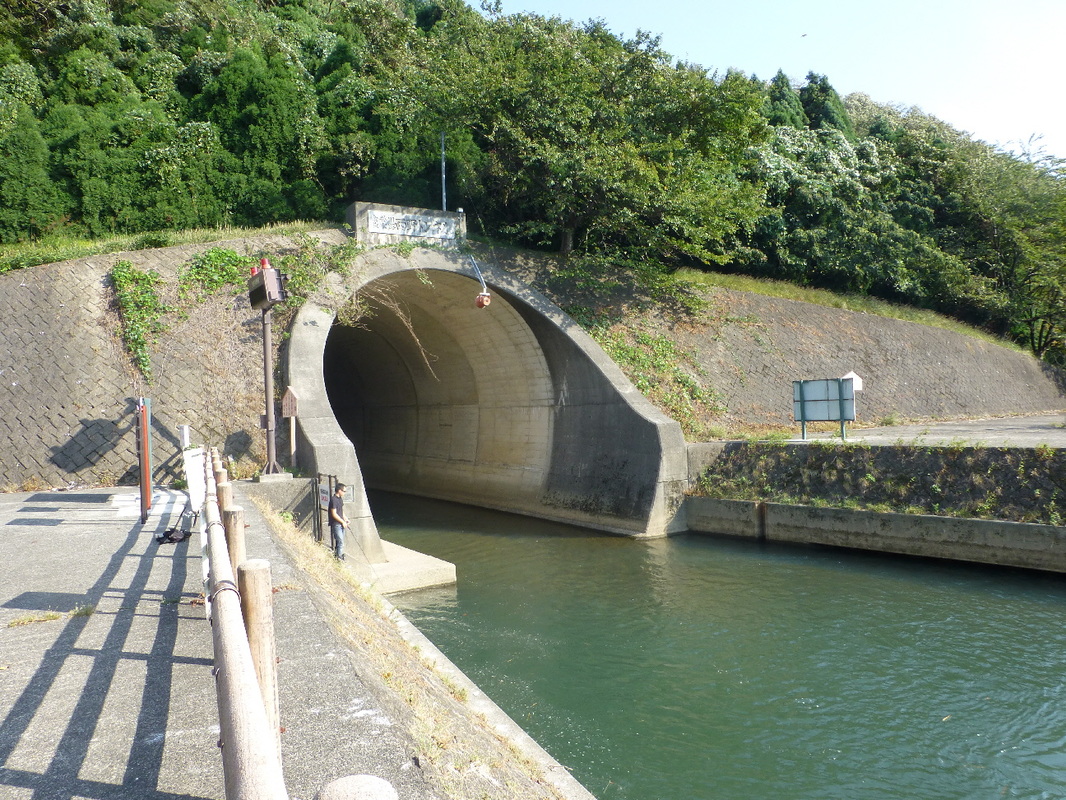
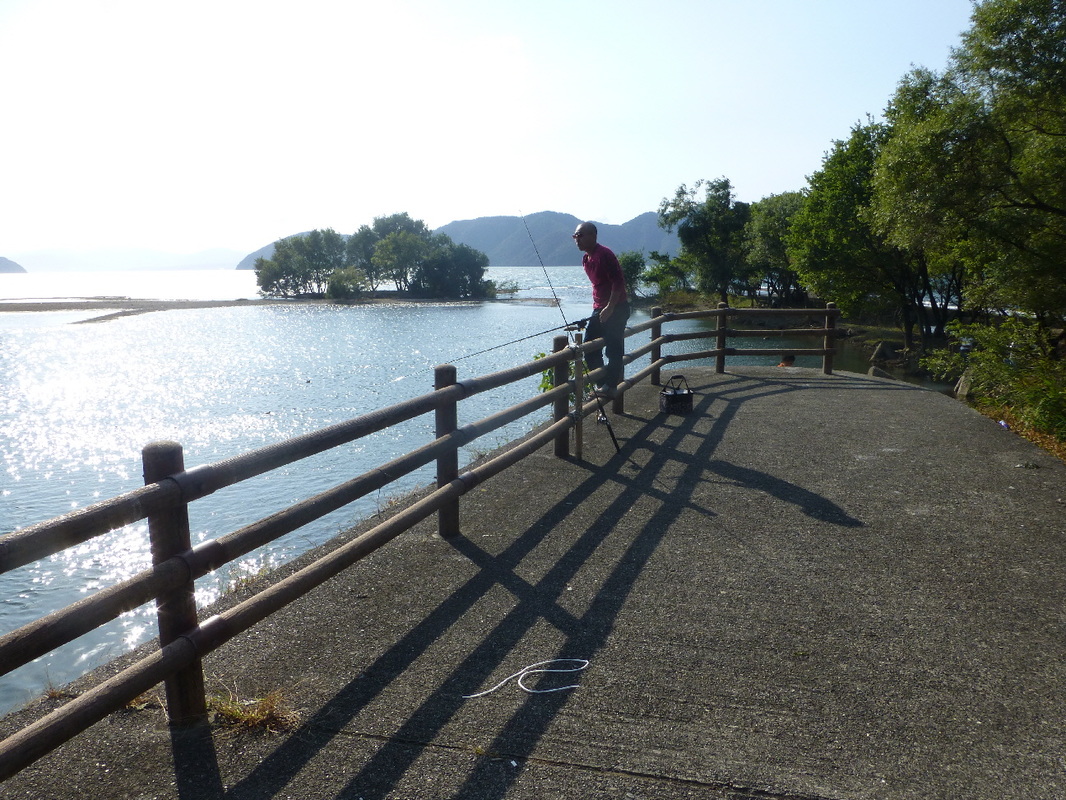
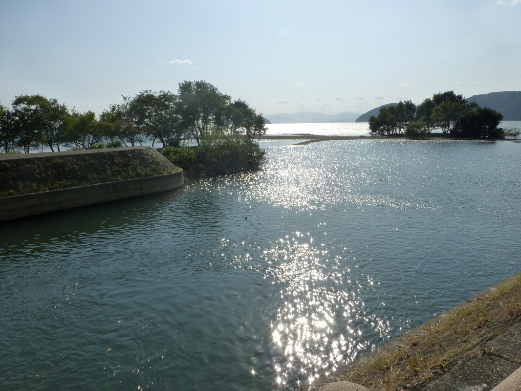
In 1807, 1832 & 1836, Nishino was devastated by floods and famine. To save them from this pitiful situation, the head priest of Nishino Jumanji Temple thought the only way was to make a channel through the western mountain and run the water of the Yogo River into Lake Biwa.
Construction was started in 1840, and after much labor, expense and overcoming many difficulties, it was completed in 1945.
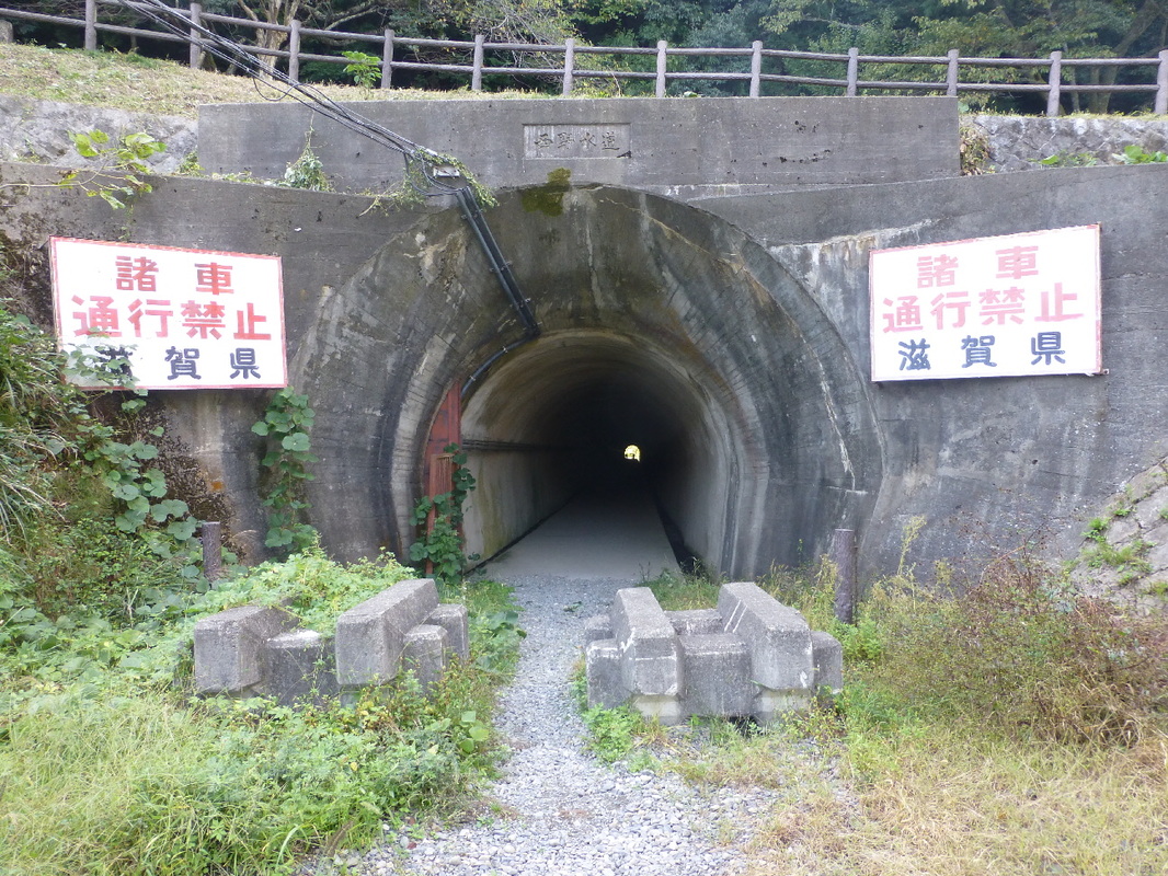
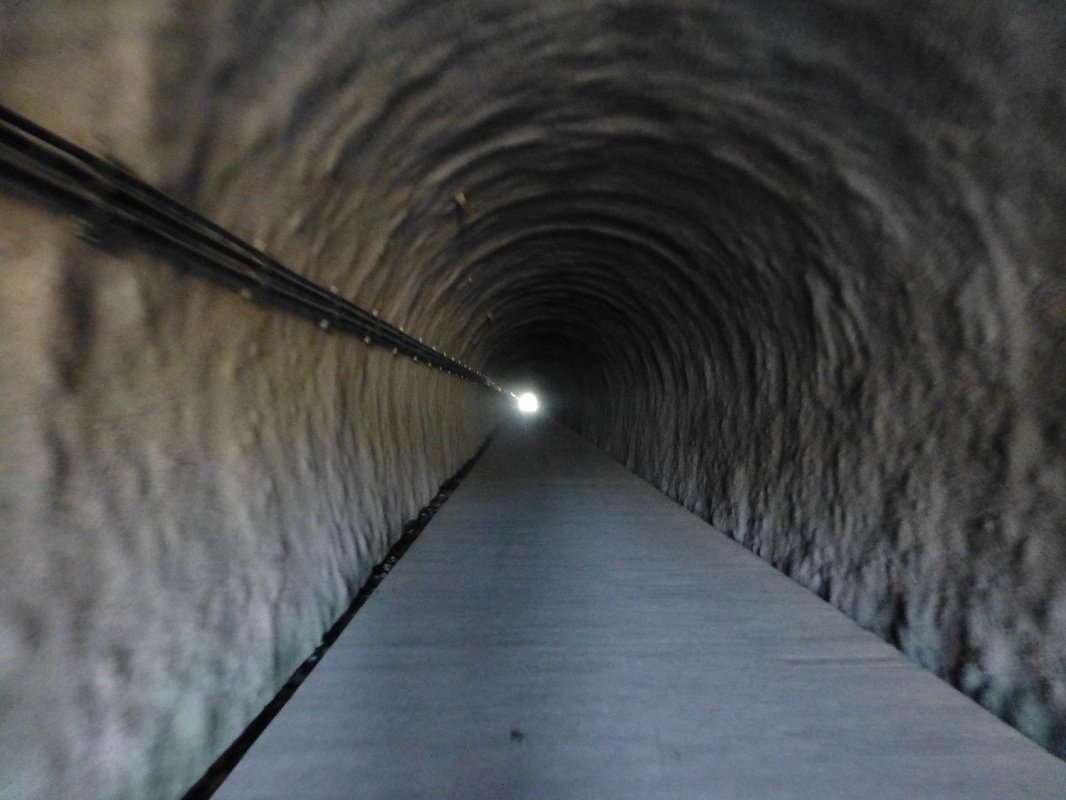
The water channel is called 'Omi's Blue Tunnel'. It's length is 220 meters, width 1.2 meters & height 2 meters. The Paleozoic strata bedrock was dug out from under the mountain range to make the drainage channel. It is a valuable historical spot that should be remembered.
On the channel's tunnel walls, chisel marks remain and here and there it is revealed where during construction they corrected the direction and level.

 RSS Feed